USA-Made · NDAA-Compliant Drones
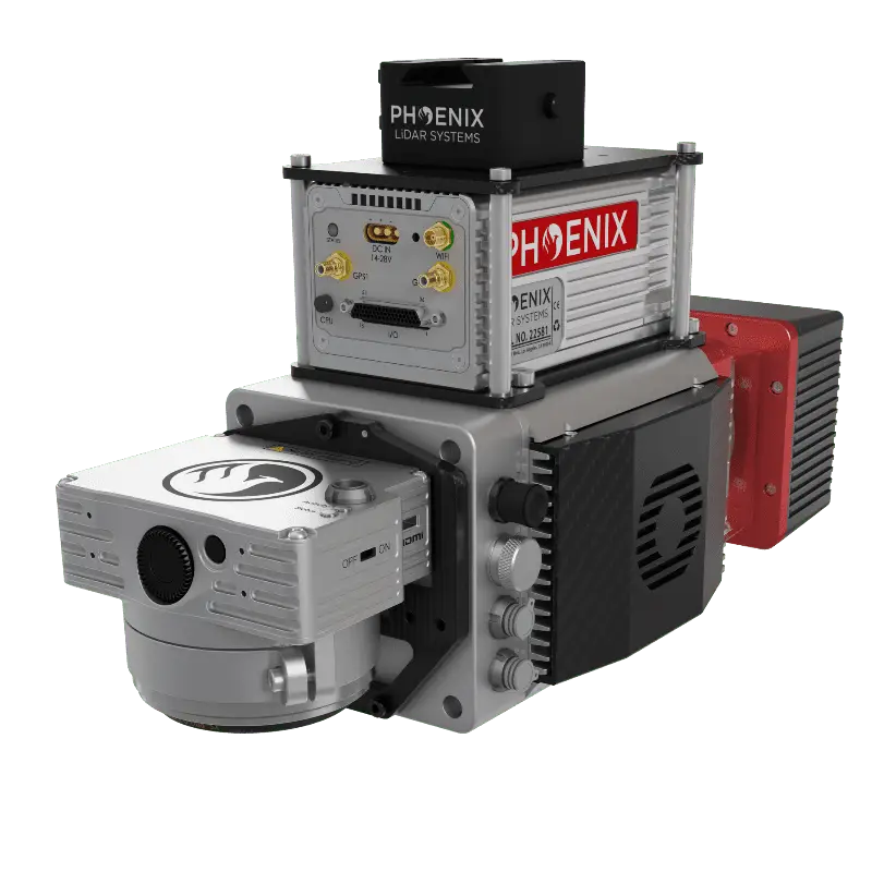
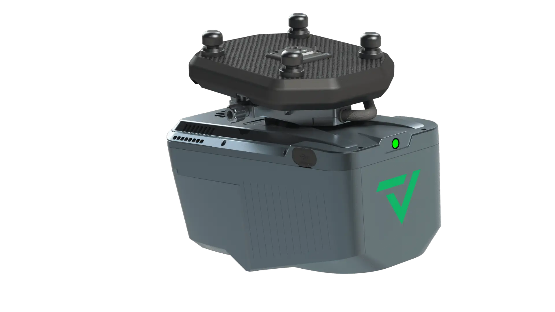
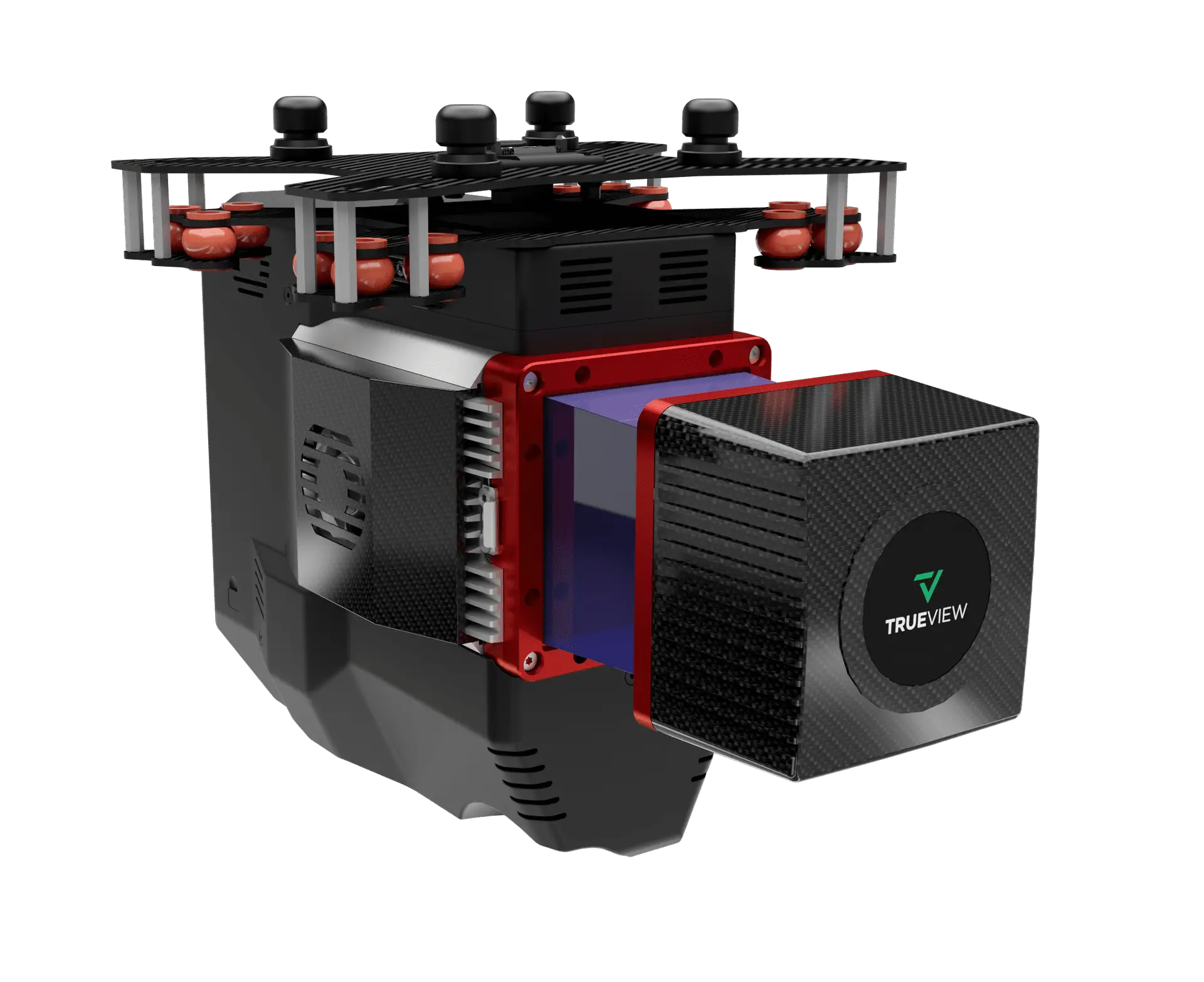
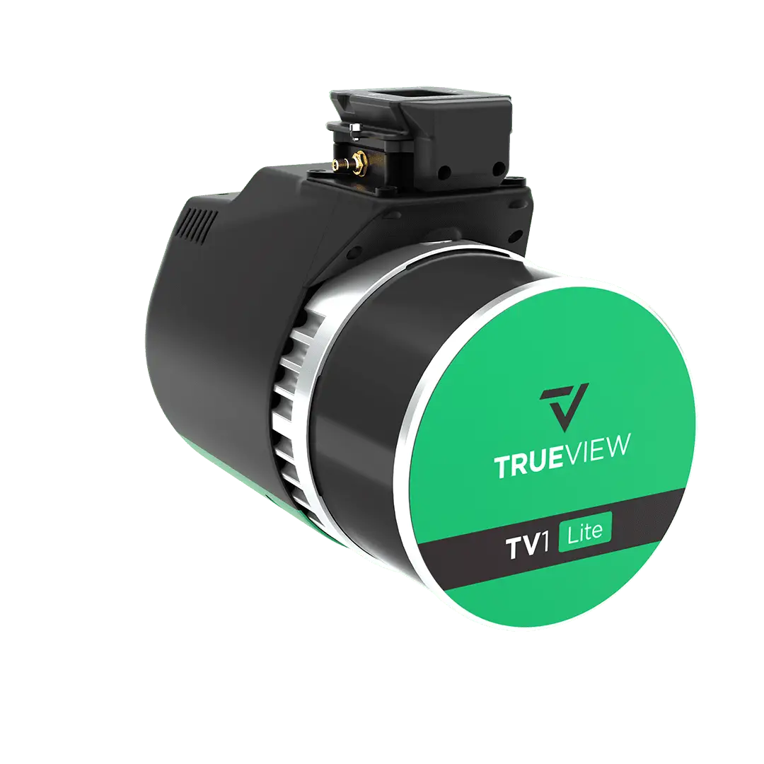
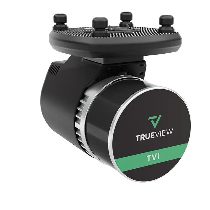
A universal quick-release connector. 12V / 24V / 48V continuous power. Full data interfaces, ready for the entire Harris payload library — carry multi-sensor stacks on a single flight, swap configurations in seconds.
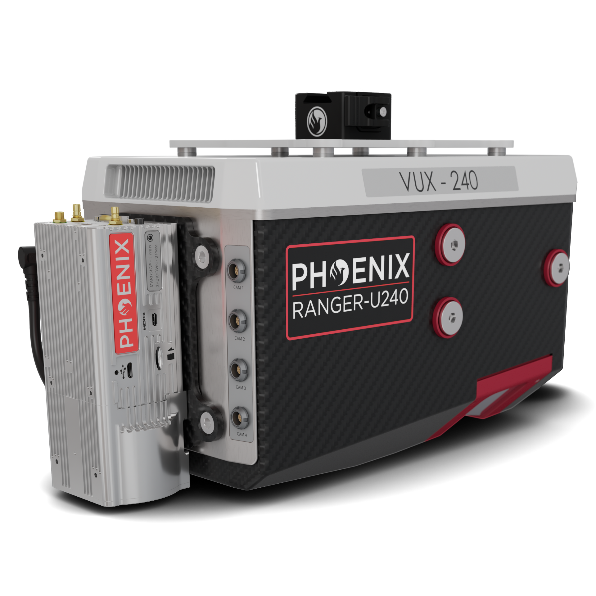
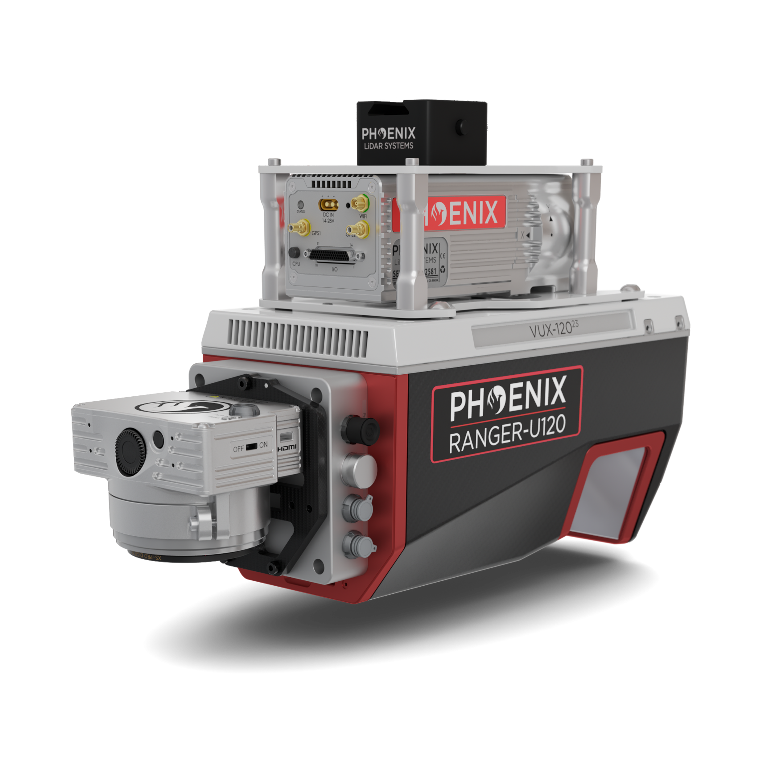
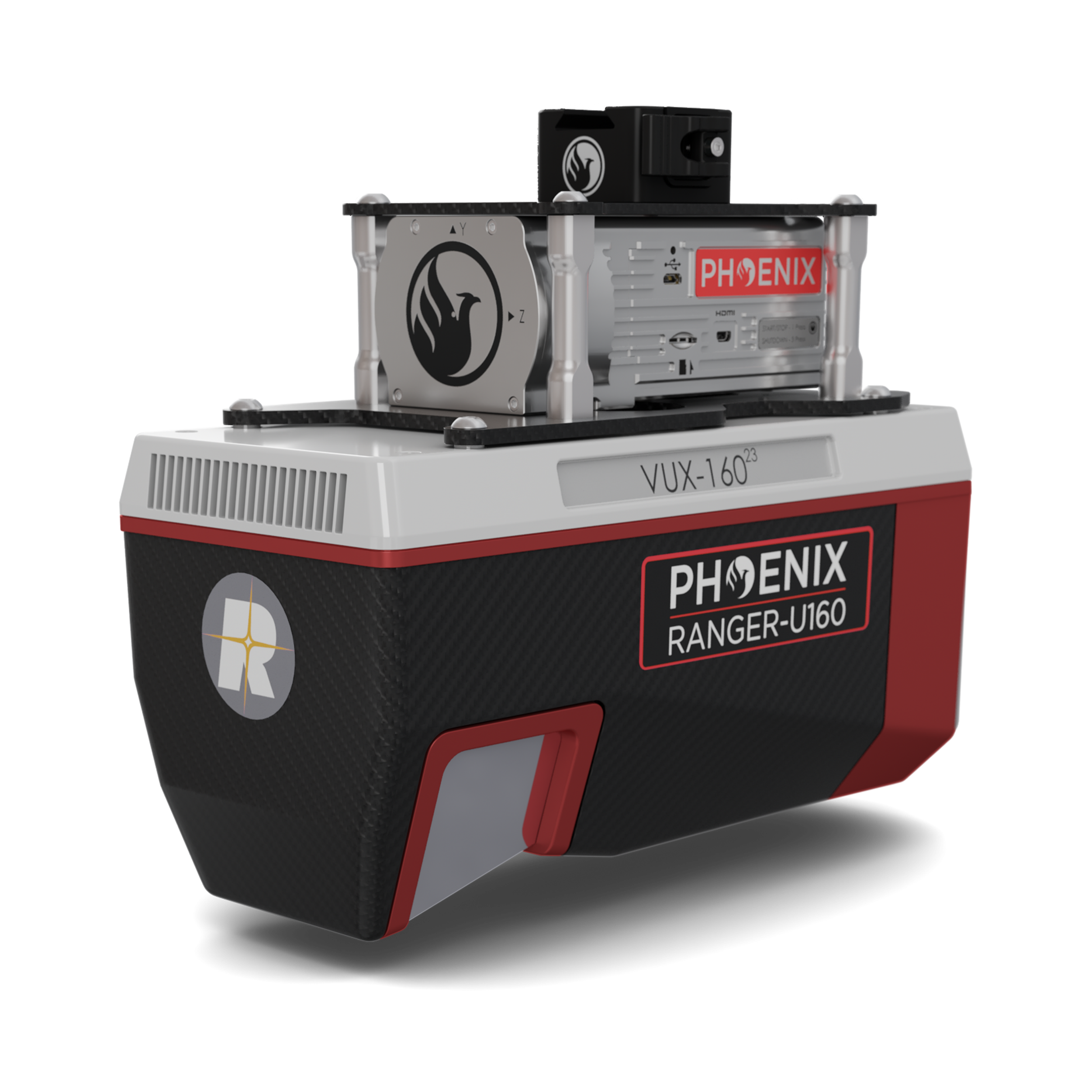
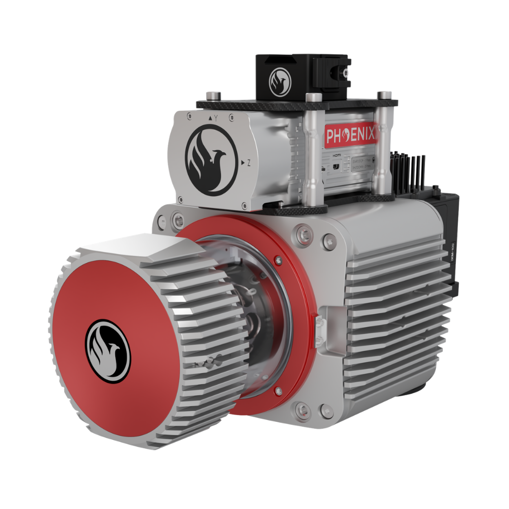
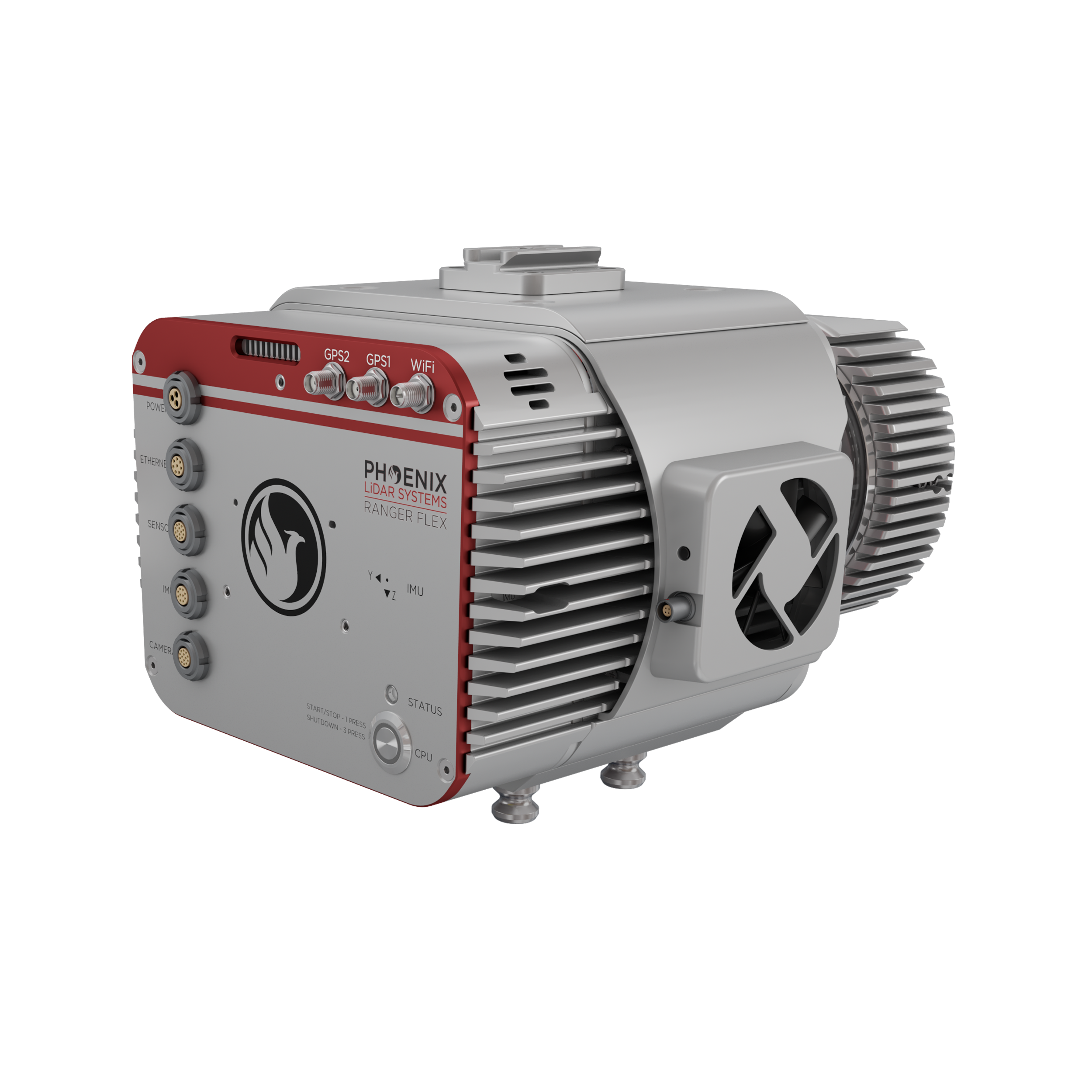
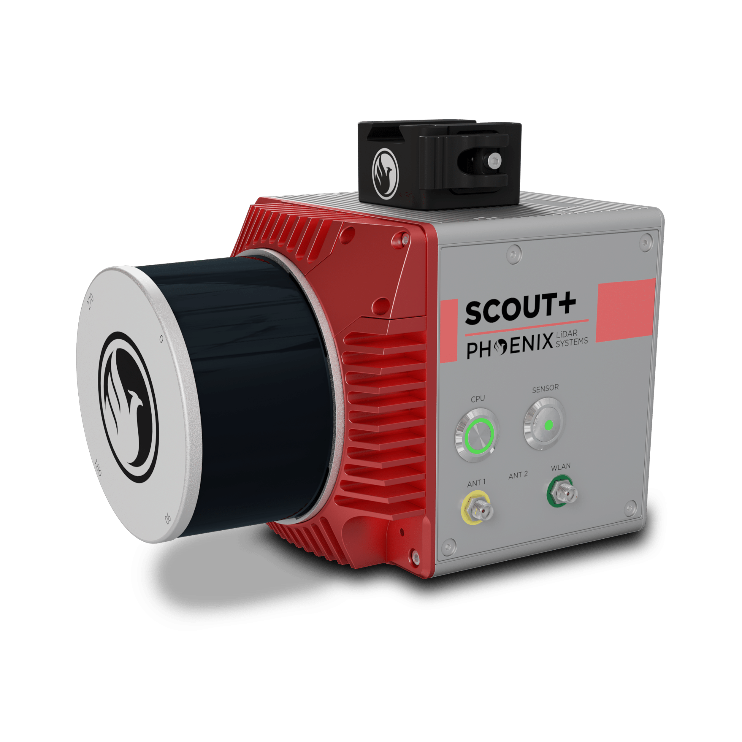
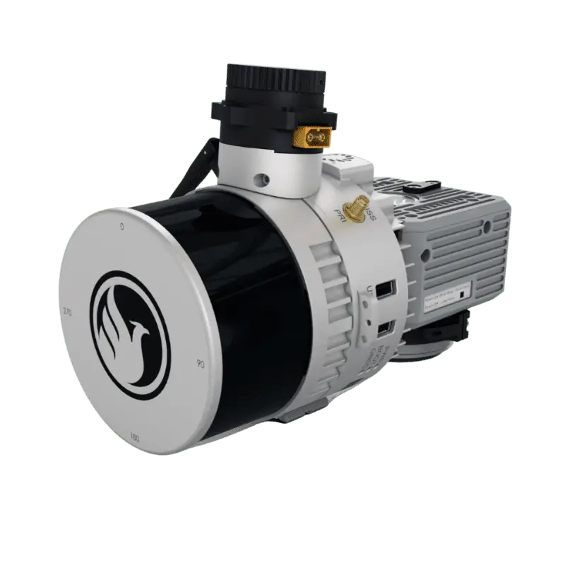
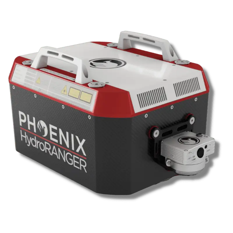
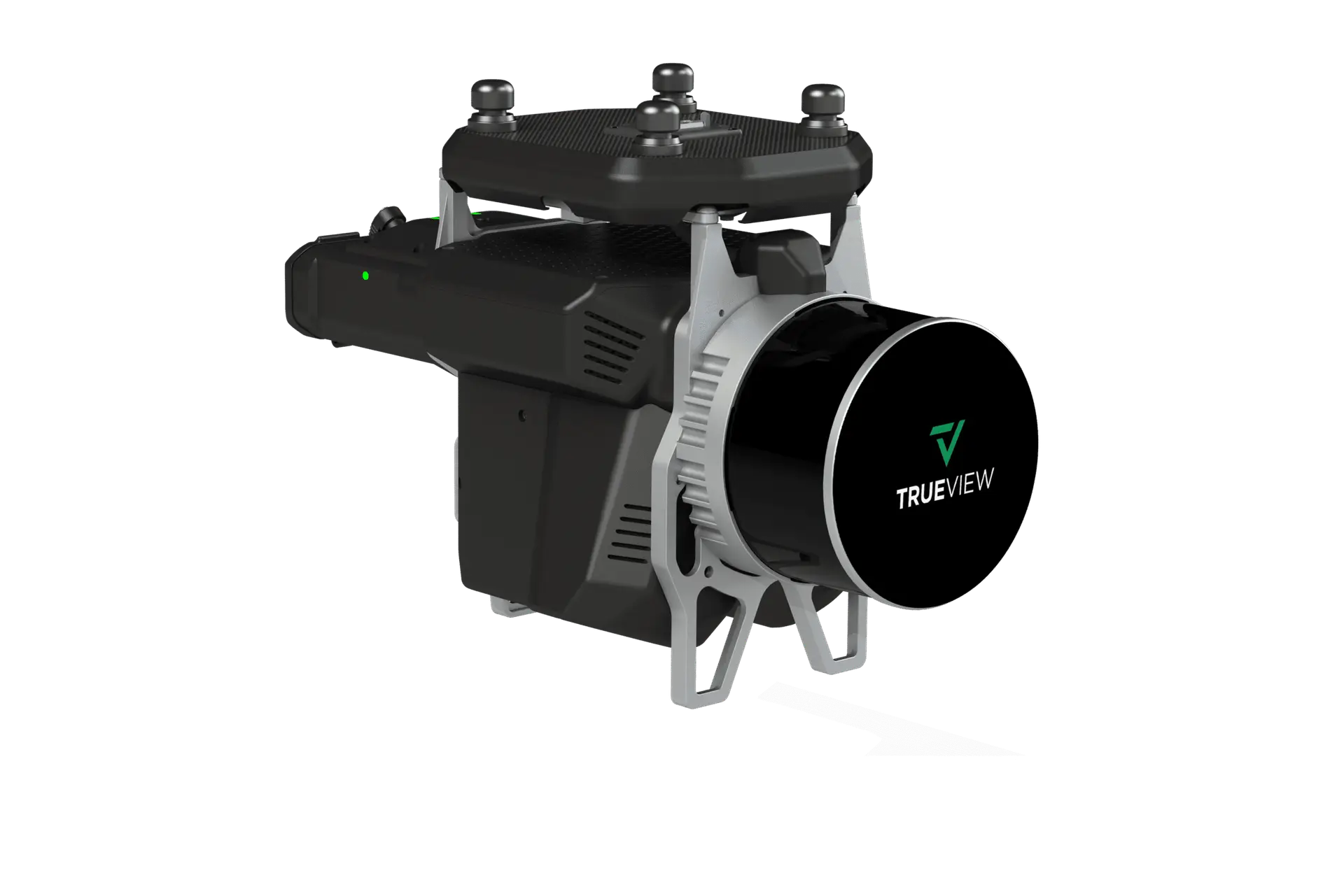
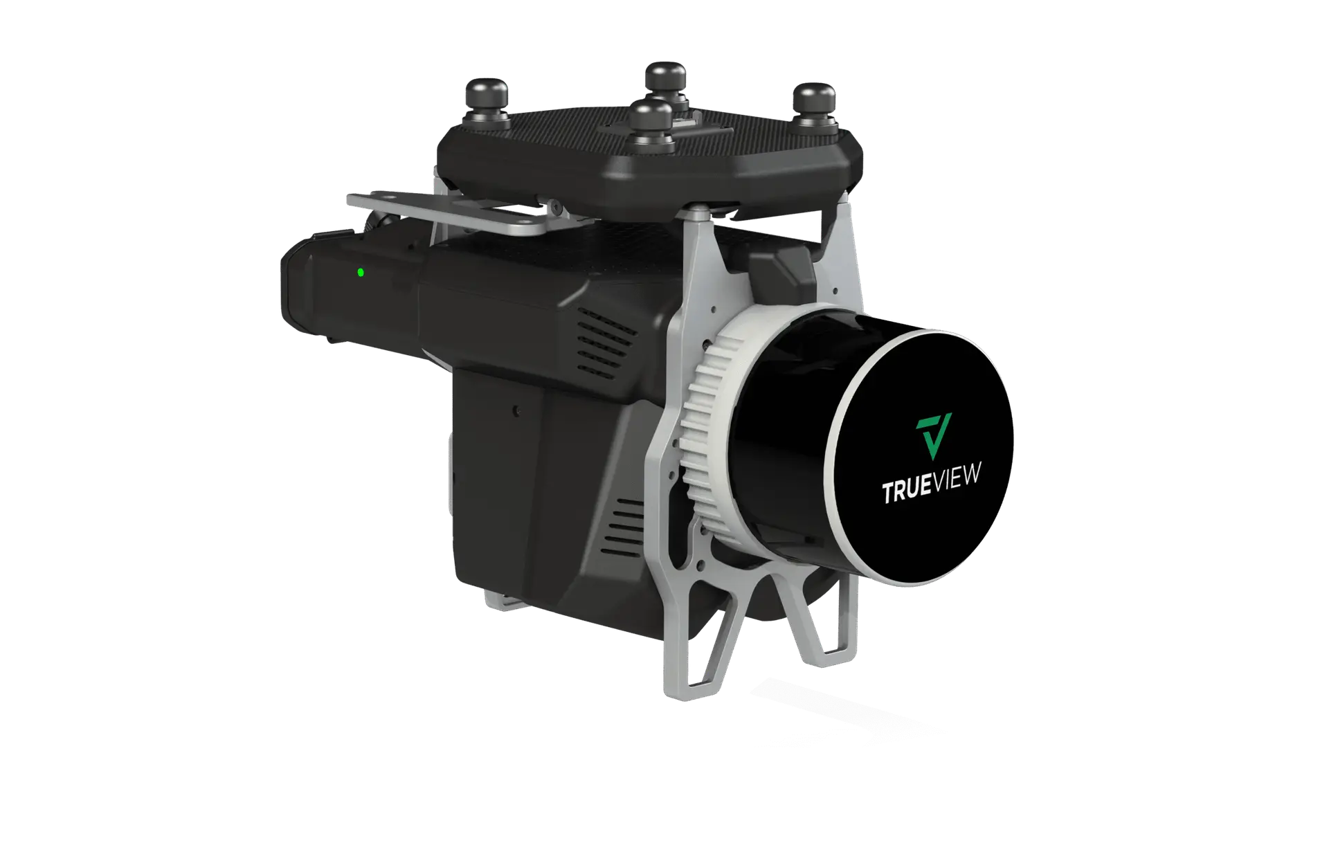
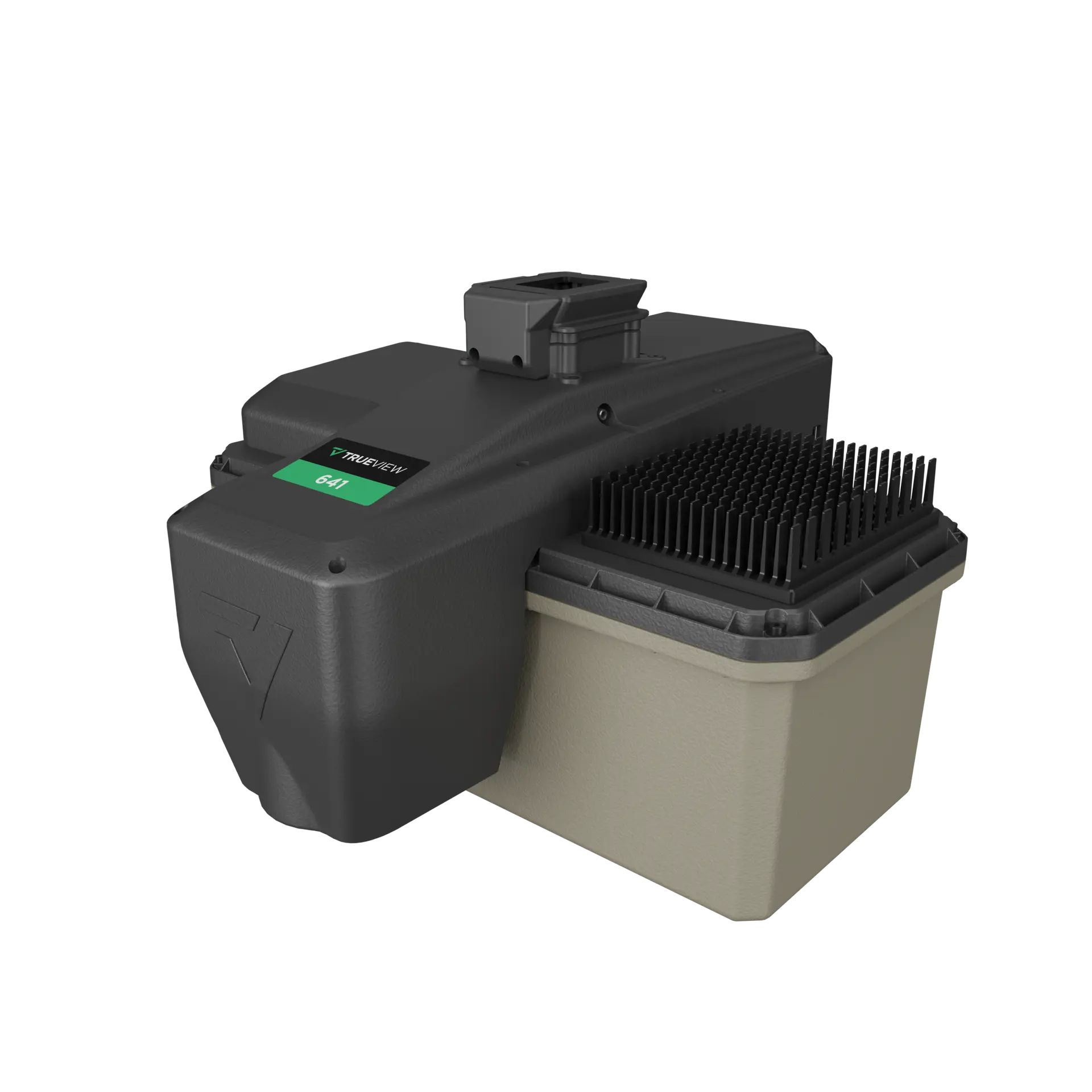
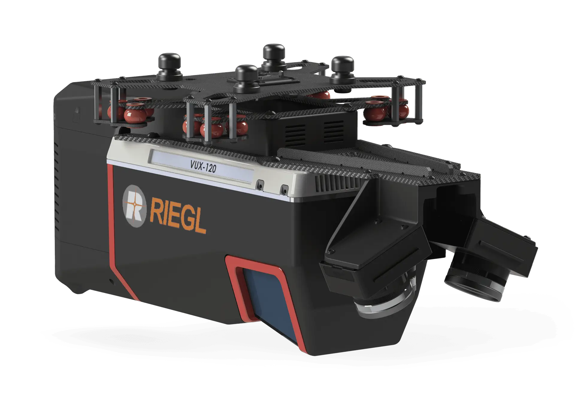
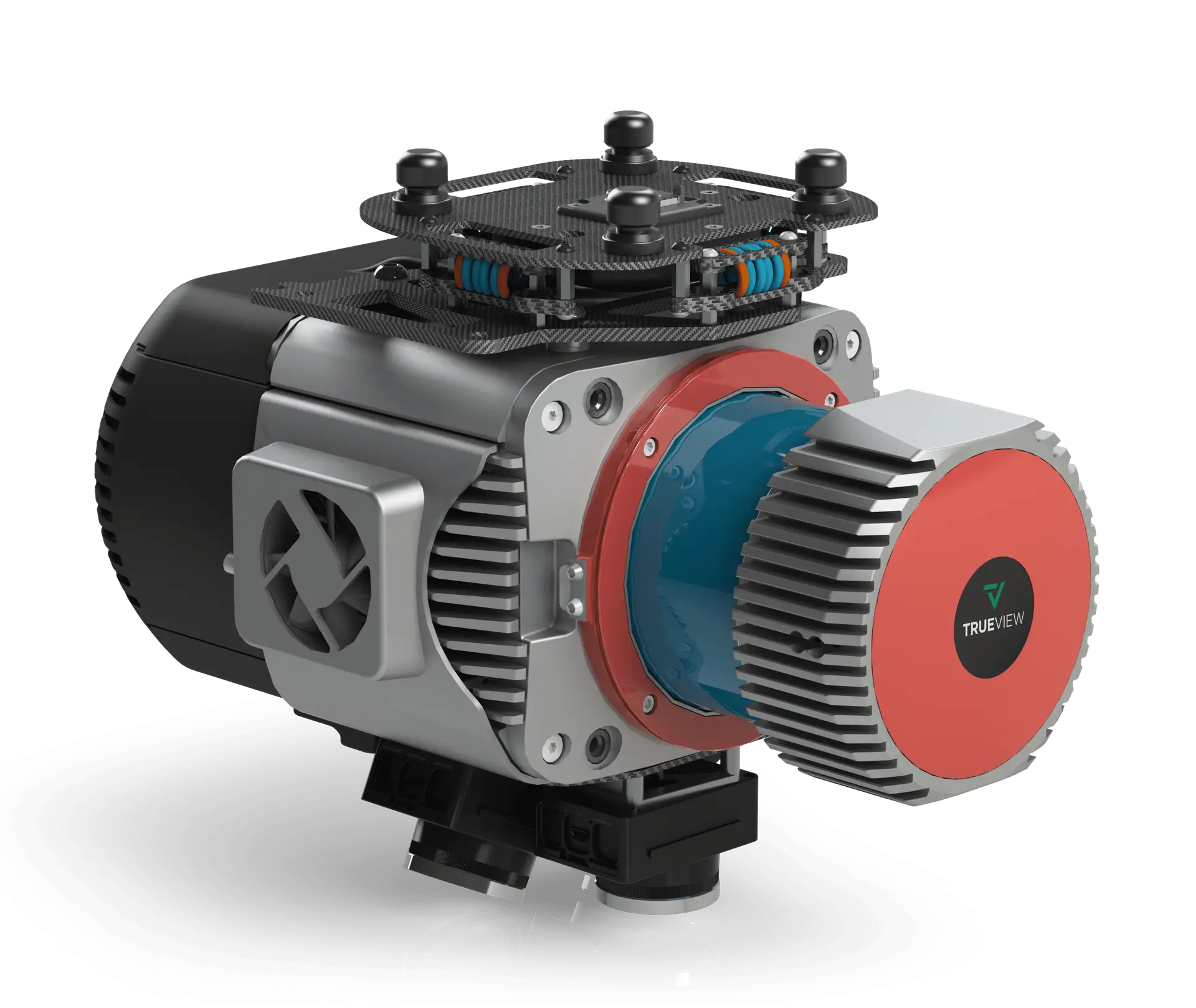
Survey-grade laser scanners across every range, weight, and accuracy class — from Phoenix mobile-class to GeoCue TrueView turnkey.
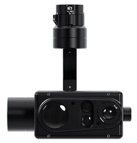
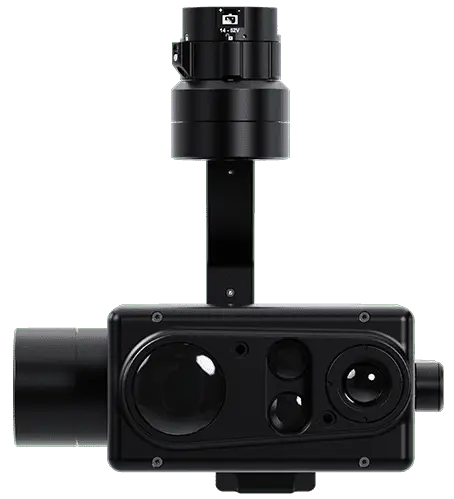
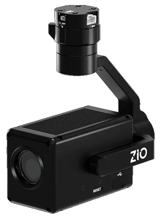
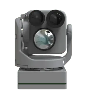
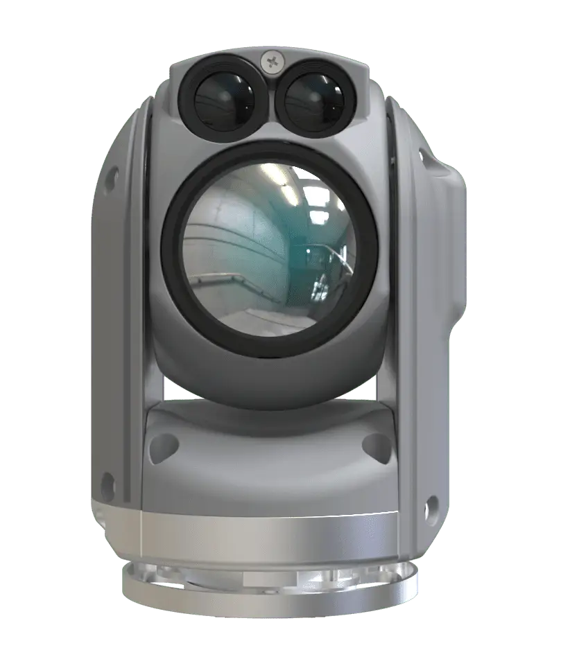
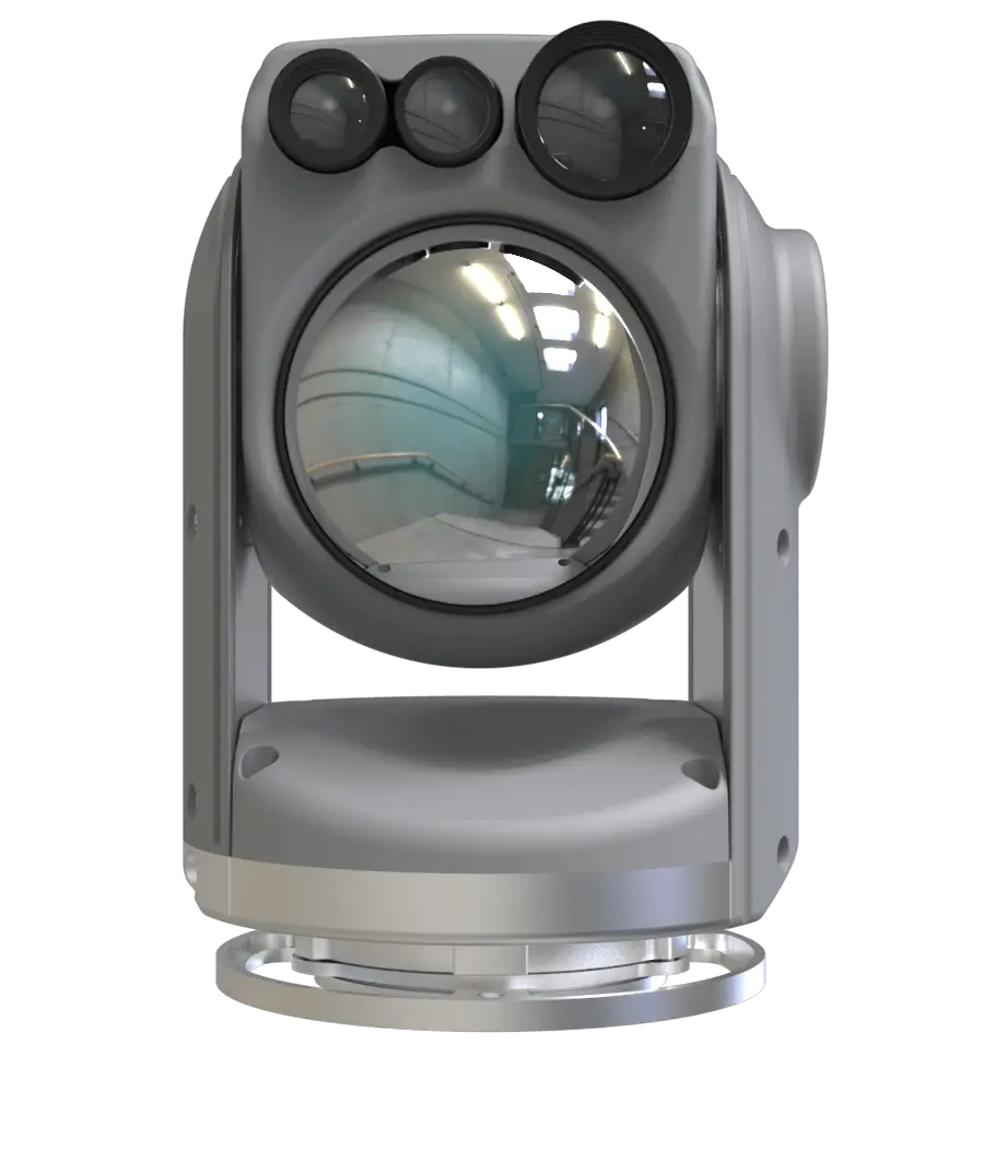
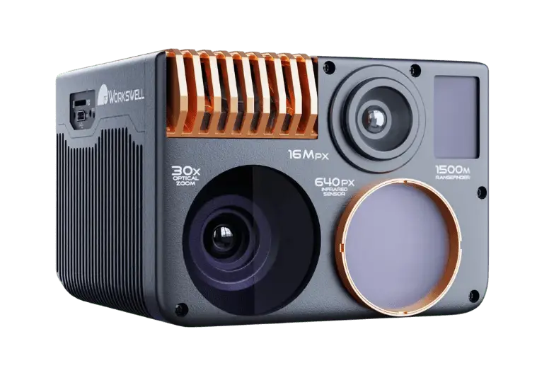
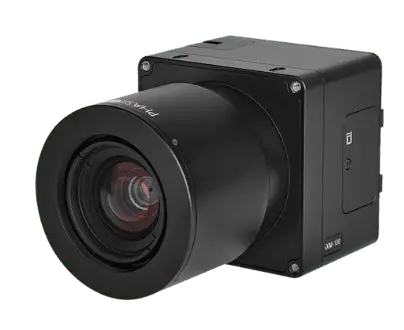
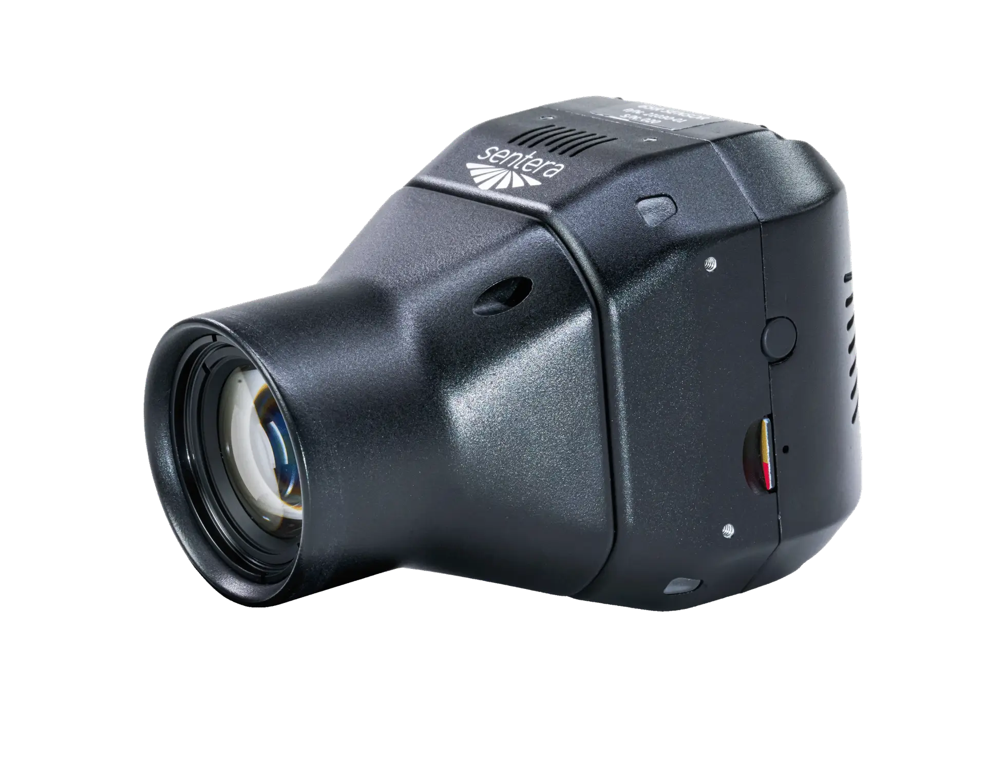
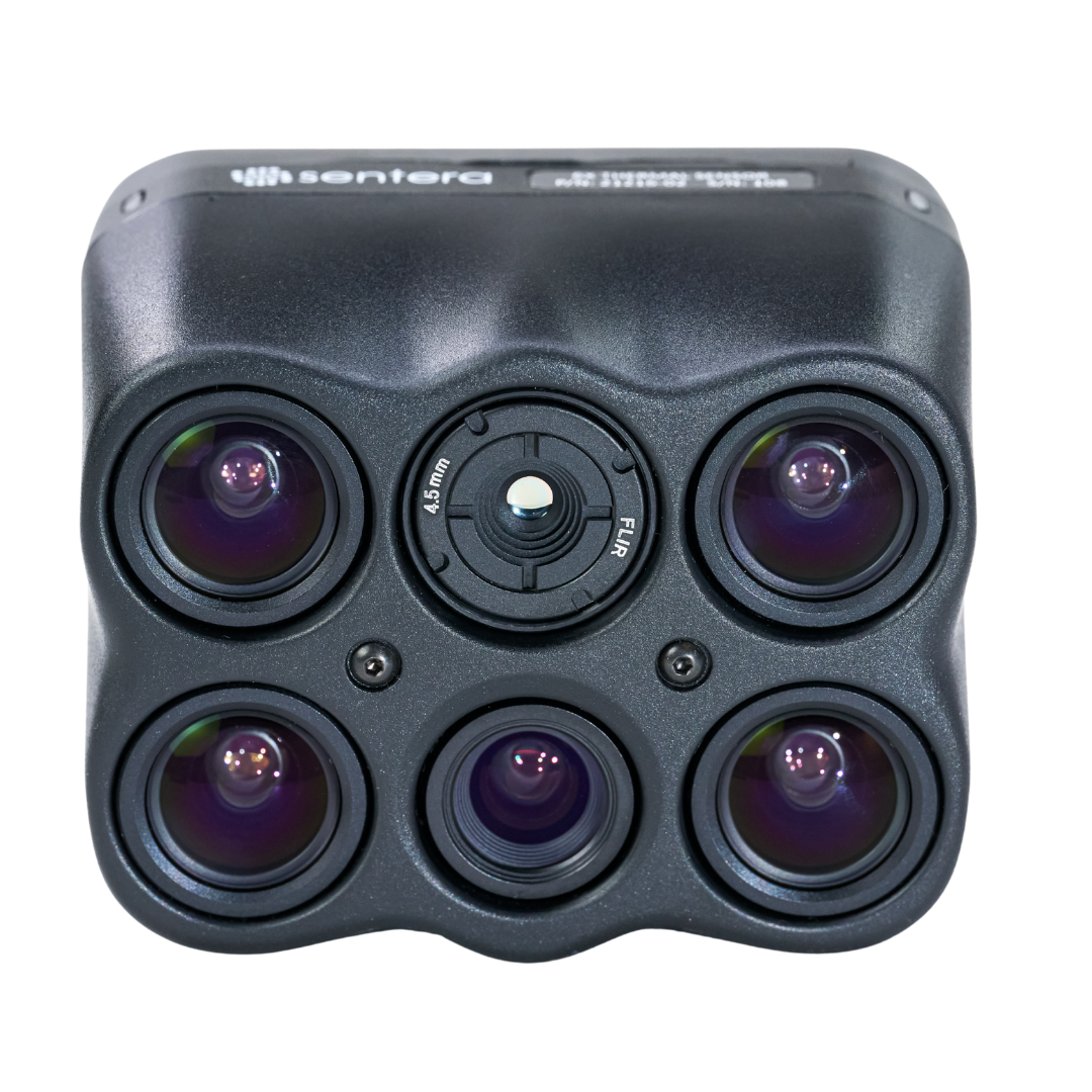
Daylight, low-light, and thermal imagers for surveillance, search and rescue, and infrastructure inspection.
Medium-format and full-frame imagers built for survey-grade photogrammetry and precision mapping.
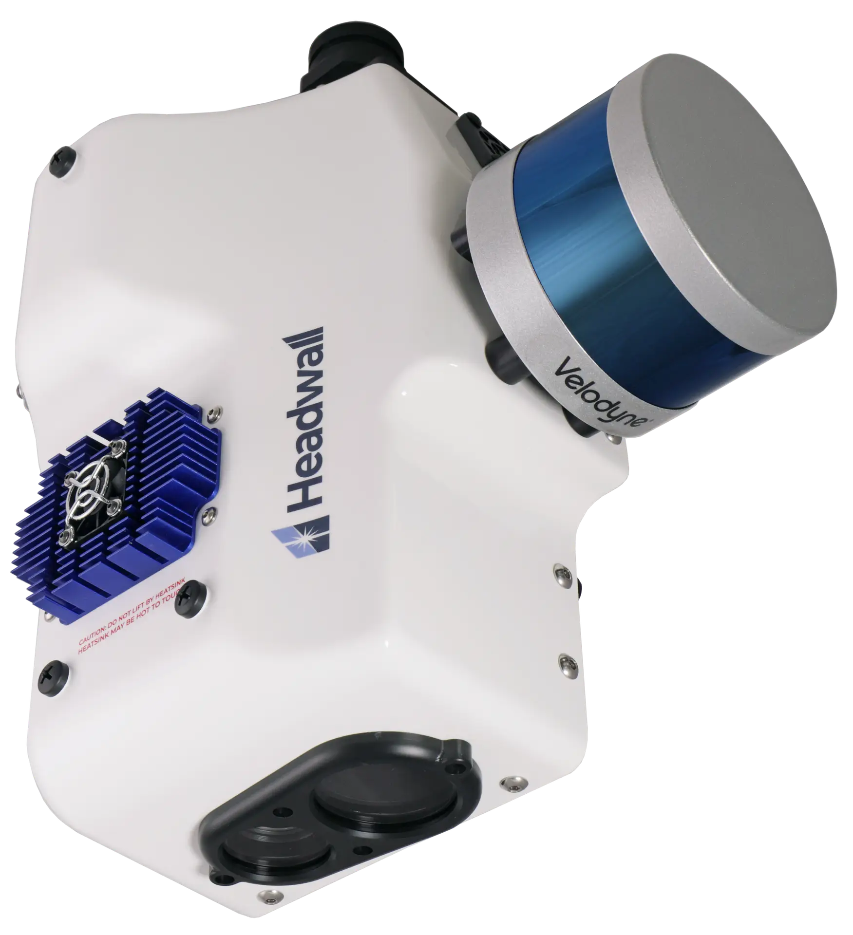
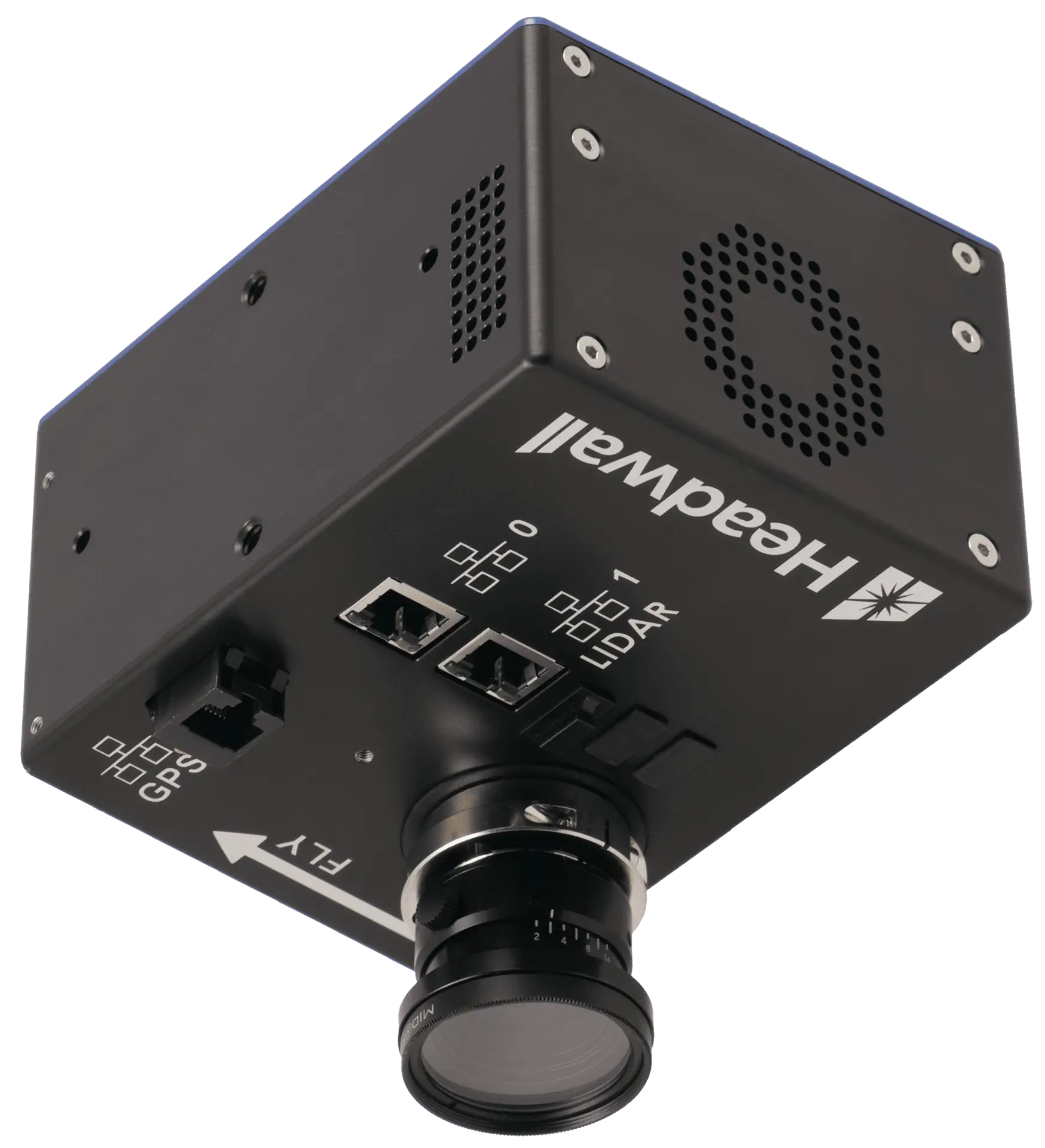
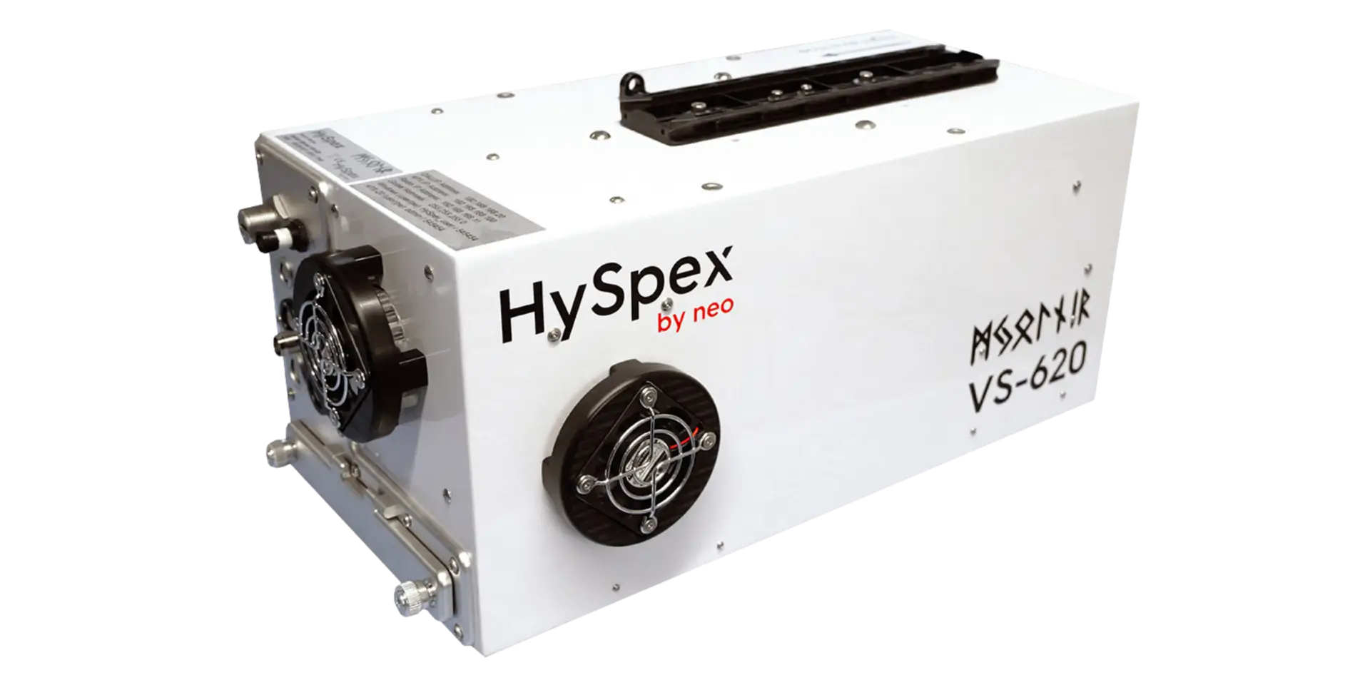
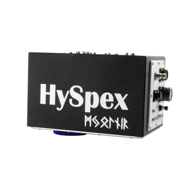
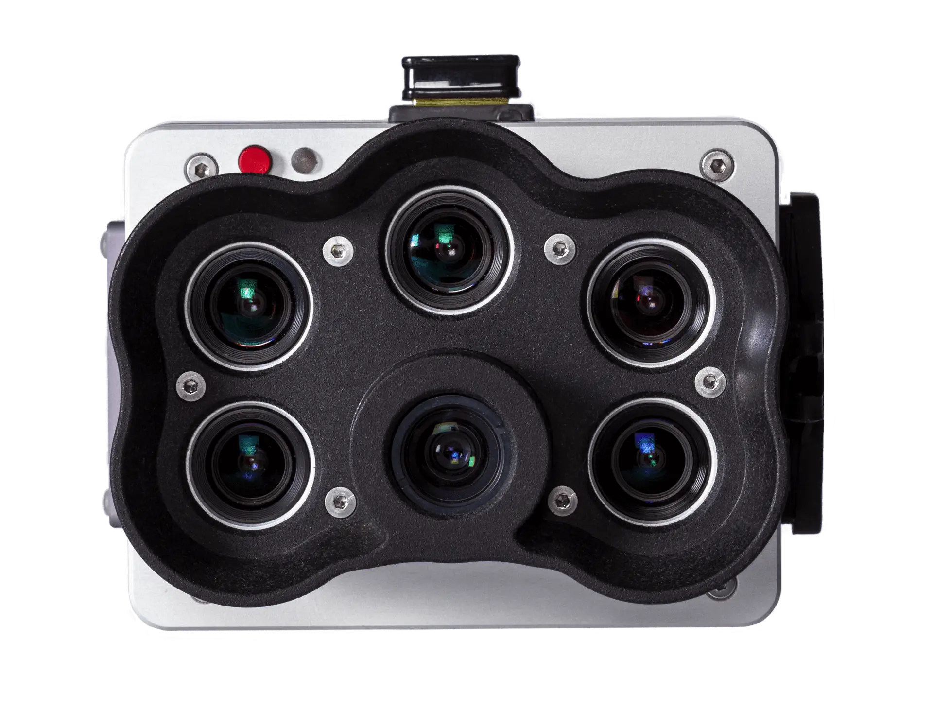
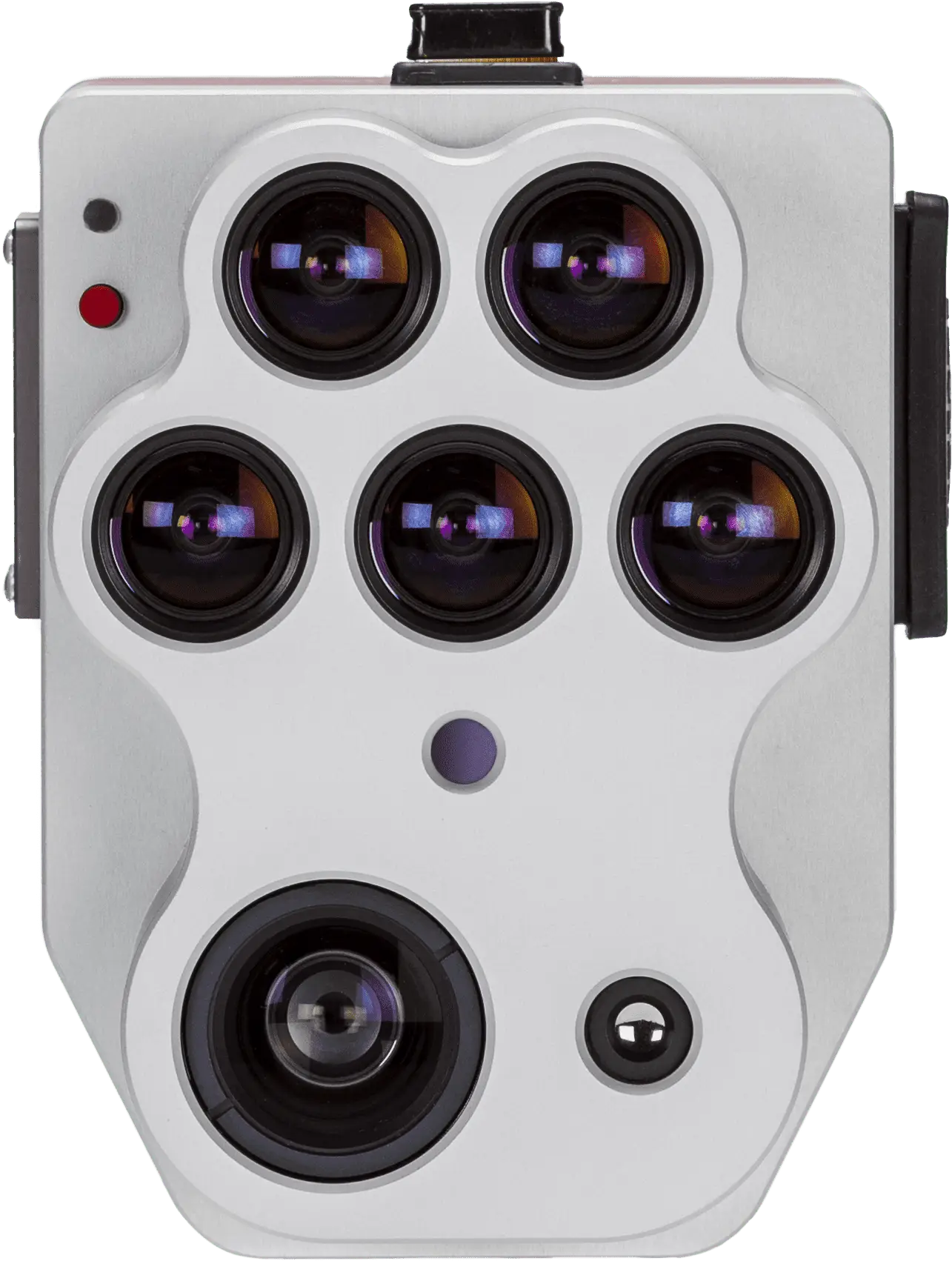
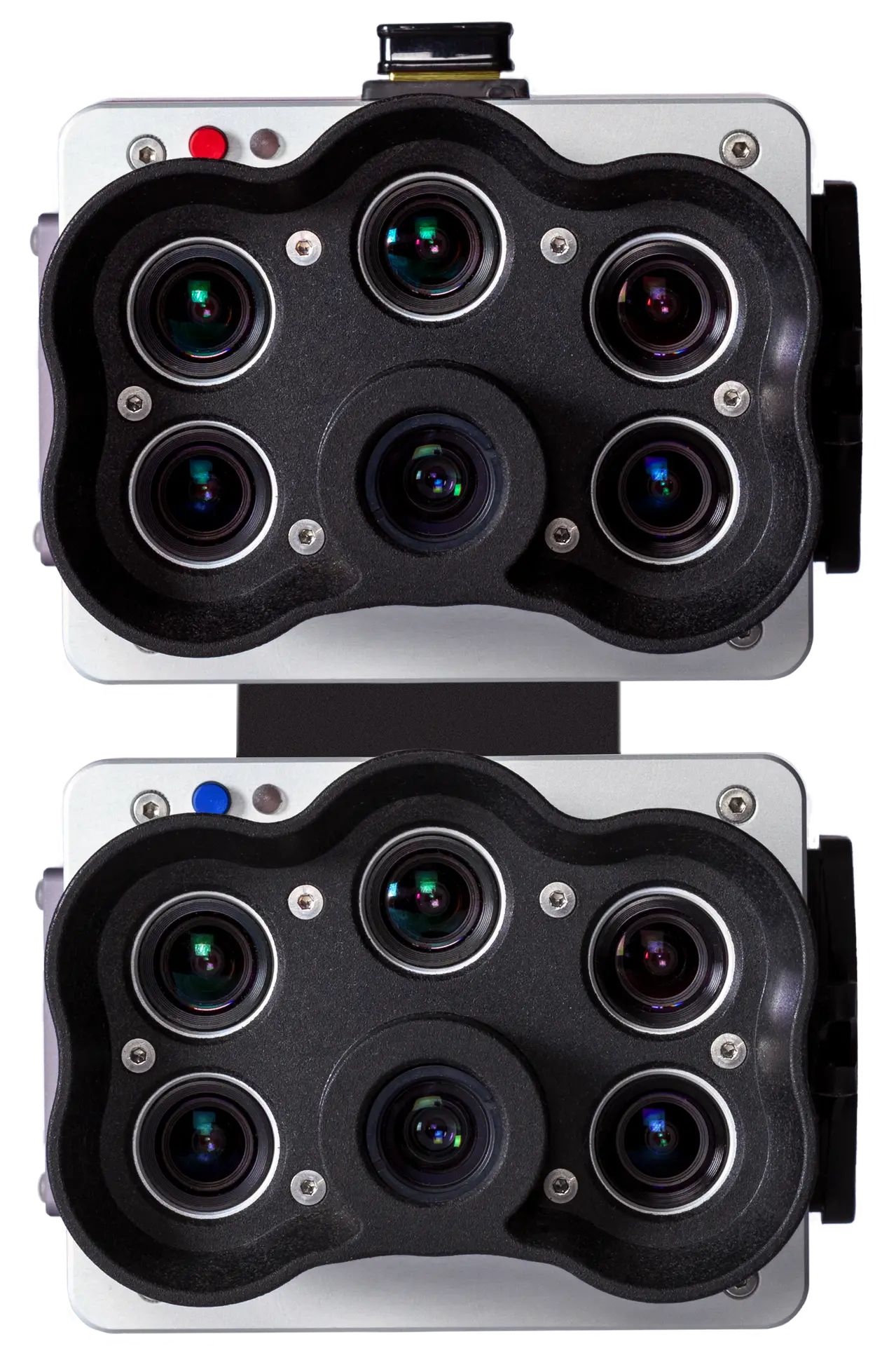
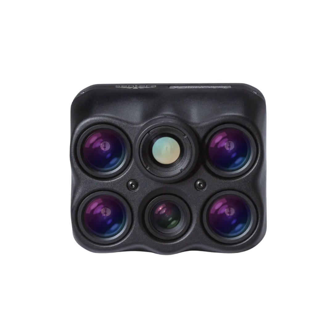
Hundreds of spectral bands for materials identification, environmental monitoring, and defense remote sensing.
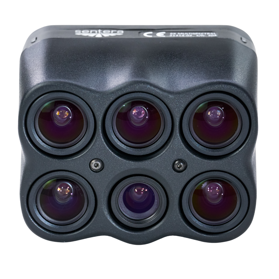
NDVI, crop health, and vegetation indices — engineered for precision agriculture and forestry.
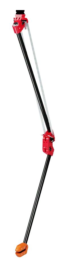
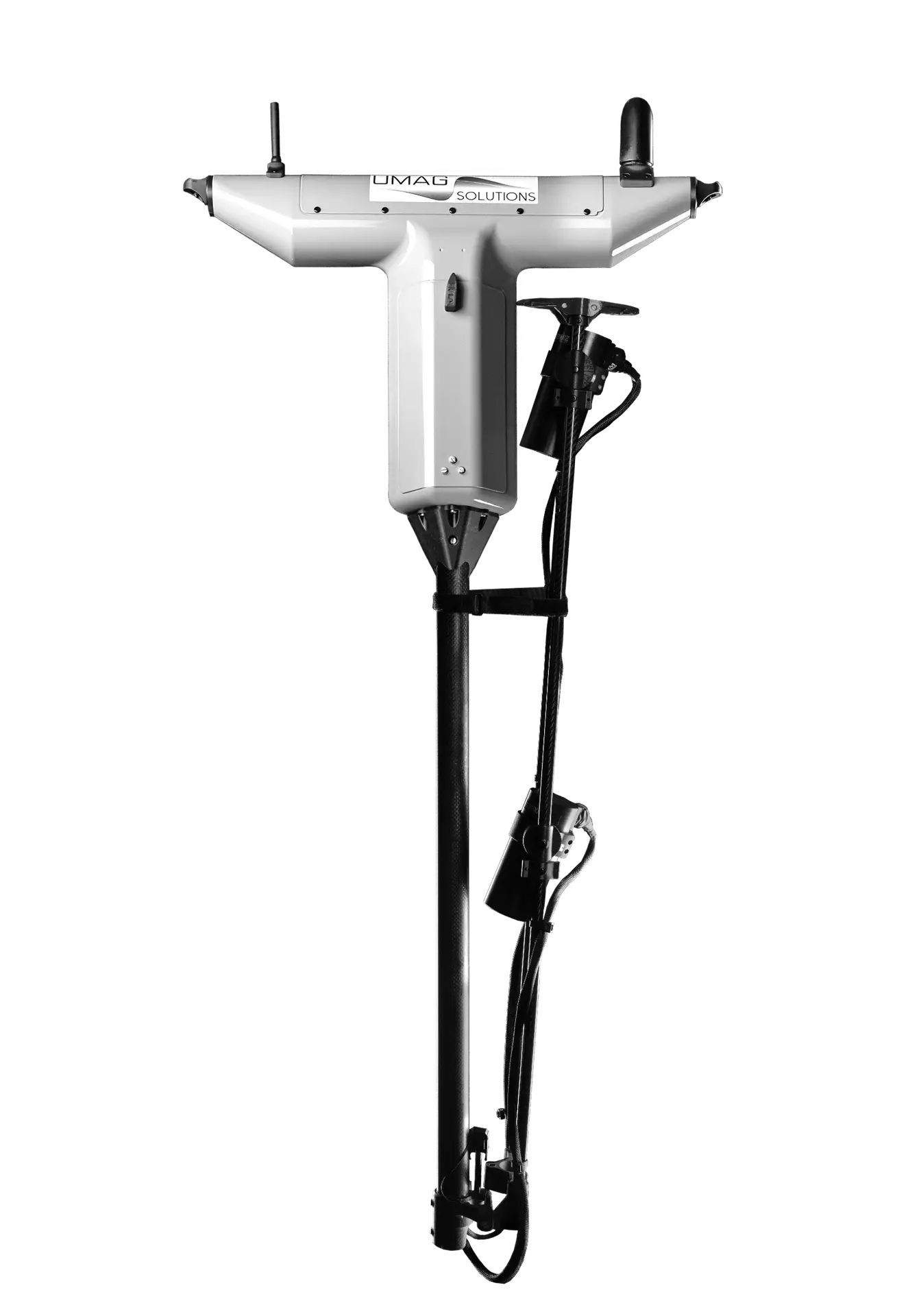
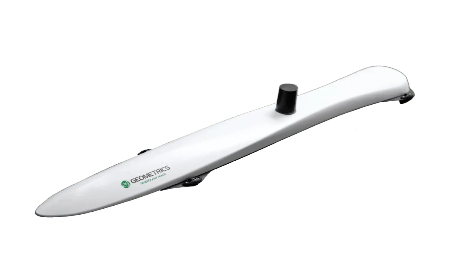
UAV-rated magnetometers for mineral exploration, UXO detection, and pipeline integrity surveys.
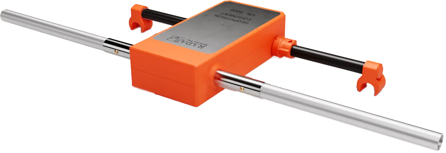
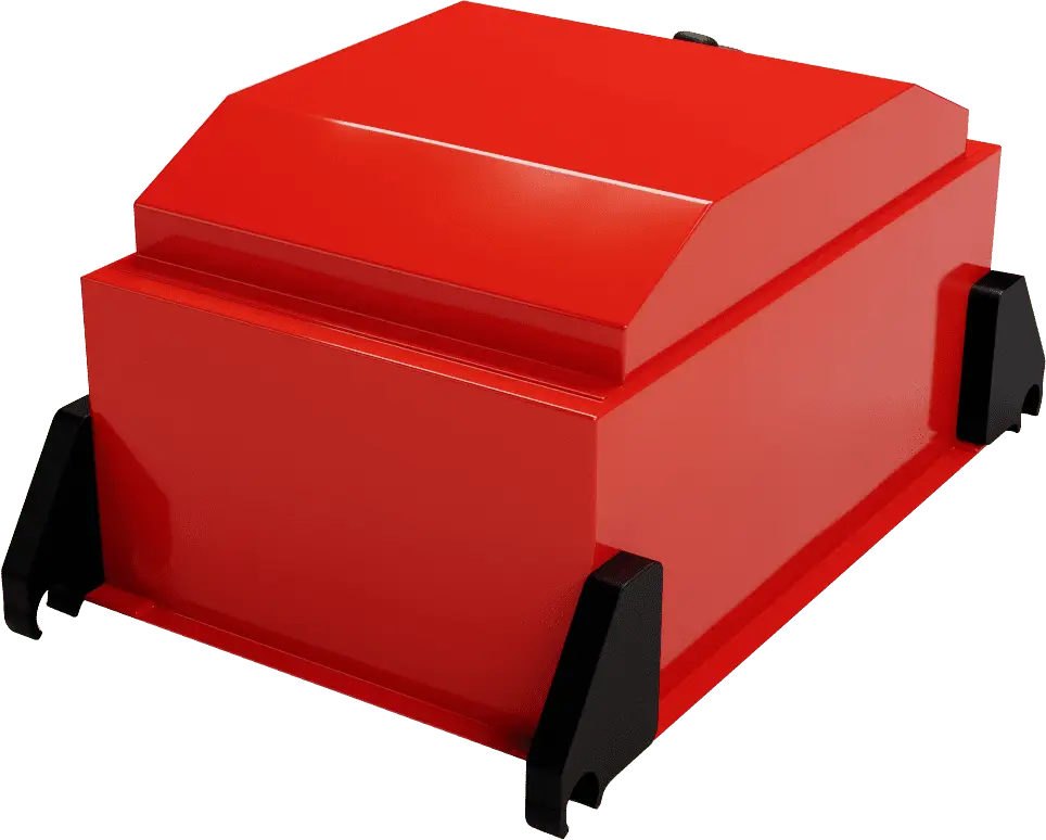
Subsurface imaging for archaeology, utility mapping, and infrastructure assessment.
Bring us your sensor stack. Our integration team handles the airframe, the power, the data interface, and the universal mount — so the payload just works.