USA-Made · NDAA-Compliant Drones
Seamless Integration, Limitless Possibilities
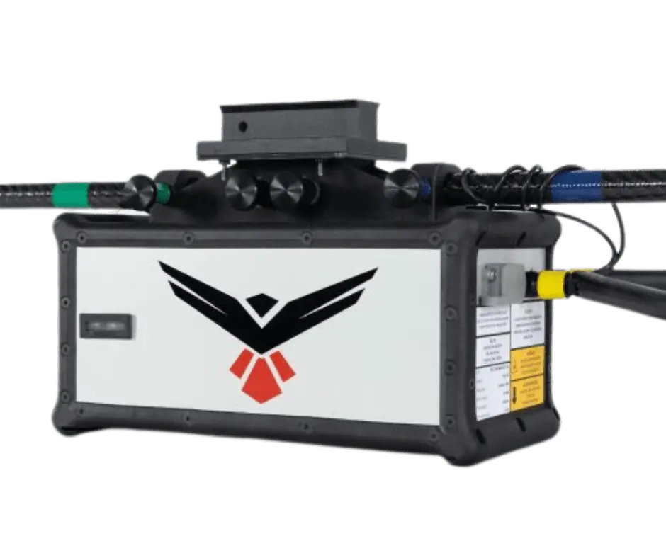
RedTail's integration process delivers world-class turn-key solutions. The RTL-450 pairs a patented LiDAR sensor optimized for small UAS with an integrated Applanix APX-18 GNSS/IMU — evenly distributing points on the ground for unprecedented data density and point-cloud resolution. At just 2.2 kg, it integrates across a wide range of platforms, with all mounting, calibration, testing, and hands-on training handled for you.
Browse the gallery with the arrows or thumbnails, and click any image to enlarge it.
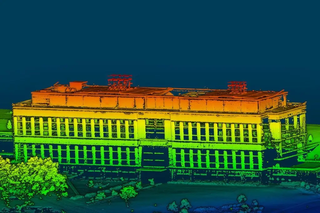
A patented sUAS LiDAR sensor, survey-grade positioning, and a lifetime processing license — ready to fly from day one.
RedTail provides mounting, calibration, boresighting, testing, and hands-on training to ensure the RTL-450 works perfectly right out of the box.
A patented LiDAR sensor designed and optimized for sUAS, paired with an integrated Applanix APX-18 GNSS/IMU and standard dual antennas for high GPS accuracy — even when hovering.
The RTL-450 evenly distributes all data points on the ground for unprecedented data density and point-cloud resolution — 1 million points per second with 3 returns per pulse.
Every system includes a lifetime license for the RedTail Point Cloud Generator (RTL-PCG), which outputs a geo-referenced .las file.
| LiDAR Sensor | RedTail patented, sUAS-optimized scanner |
|---|---|
| Wavelength | 1550 nm |
| Max Range (20% reflectivity) | 120 m (400 ft) |
| Max Range (80% reflectivity) | 160 m (525 ft) |
| Pulse Repetition Rates | 100, 200, or 400 kHz |
| Scan Rate | 200 lines/sec |
| Returns Per Pulse | 3 |
| Measurement Rate | 1 million points/second |
| GNSS/IMU | Applanix APX-18 (standard dual antennas) |
|---|---|
| Power | 45 W |
| Dimensions | 9.4″ L × 4.6″ W × 4.6″ H |
| Weight (with dual GPS antenna) | 2.2 kg (4.8 lbs) |
| Processing Software | RedTail Point Cloud Generator (RTL-PCG) — lifetime license, geo-referenced .las output |
Weight is the LiDAR unit with dual GPS antenna (2.2 kg / 4.8 lbs). RedTail handles mounting, calibration, boresighting, and training so the system is ready to fly from day one.
Pair the RedTail RTL-450 with the right Harris Aerial Carrier for your mission and operating environment.