USA-Made · NDAA-Compliant Drones
Even More Powerful Forward, NADIR, and Rear FOV Laser
Enhanced range and density on top of an already unrivaled mapping system. The Riegl VUX-16023 delivers a unique forward-, NADIR-, and rear-looking 100° field of view that minimizes laser shadowing on complex vertical surfaces — at pulse rates up to 2,400 kHz.
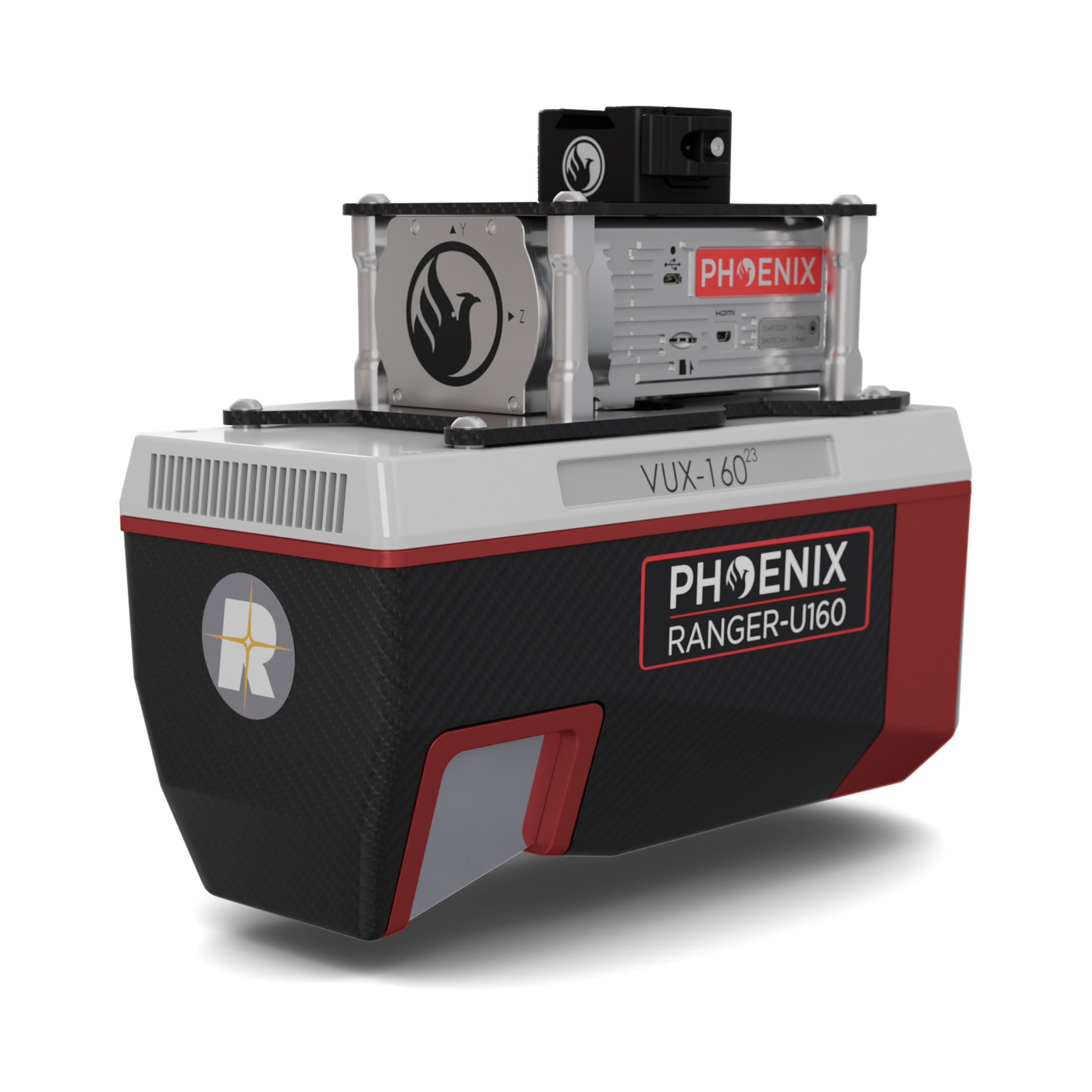
Click the image to enlarge it.
Mapping at multiple scales with the flexibility to be carried by a variety of aircraft — especially ideal for utility, rail, and pipeline corridor mapping.
−10° back / 0° nadir / +10° forward delivers improved detail on vertical structures and surfaces in a single pass.
Measurement rates up to 2,000,000 per second across a 100° lateral FOV for true single-pass corridor coverage.
1.5–3 cm RMSEz system accuracy at 120 m, with 2 cm intraswath precision — ready for engineering deliverables.
Easily mountable to unmanned platforms, helicopters, gyrocopters, and other small piloted aircraft.
| Laser Wavelength | 1550 nm |
|---|---|
| Range Minimum | 5 m |
| Range Maximum | 980 m @ 20% reflectivity, 300 kHz |
| Pulse Repetition Rate | Up to 2,400 kHz |
| Scan Speed | 50 - 400 lines/second |
| Horizontal FOV | 100° |
| Scan Pattern | 3-facet polygon mirror (−10°, 0°, +10°) |
| Beam Divergence | 0.4 mrad |
| Laser Accuracy | 0.01 m (1σ @ 150 m) |
| RMSEz System Accuracy | 1.5 - 3 cm @ 120 m |
|---|---|
| RMSDz Intraswath Precision | 2 cm @ 120 m |
| Max AGL @ 20% Reflectivity | 560 m |
| Max Effective Measurement Rate | Up to 2,000,000 meas./sec |
| Operating Voltage | 20 - 28 V DC |
|---|---|
| Power Consumption | 75 W typical |
| Operating Temperature | 32° - 104° F |
| Weight | 3.4 kg |
Mapping at multiple scales, with the precision your project demands.