USA-Made · NDAA-Compliant Drones
The Best-Performing LiDAR + Camera System in the Mid Price Range
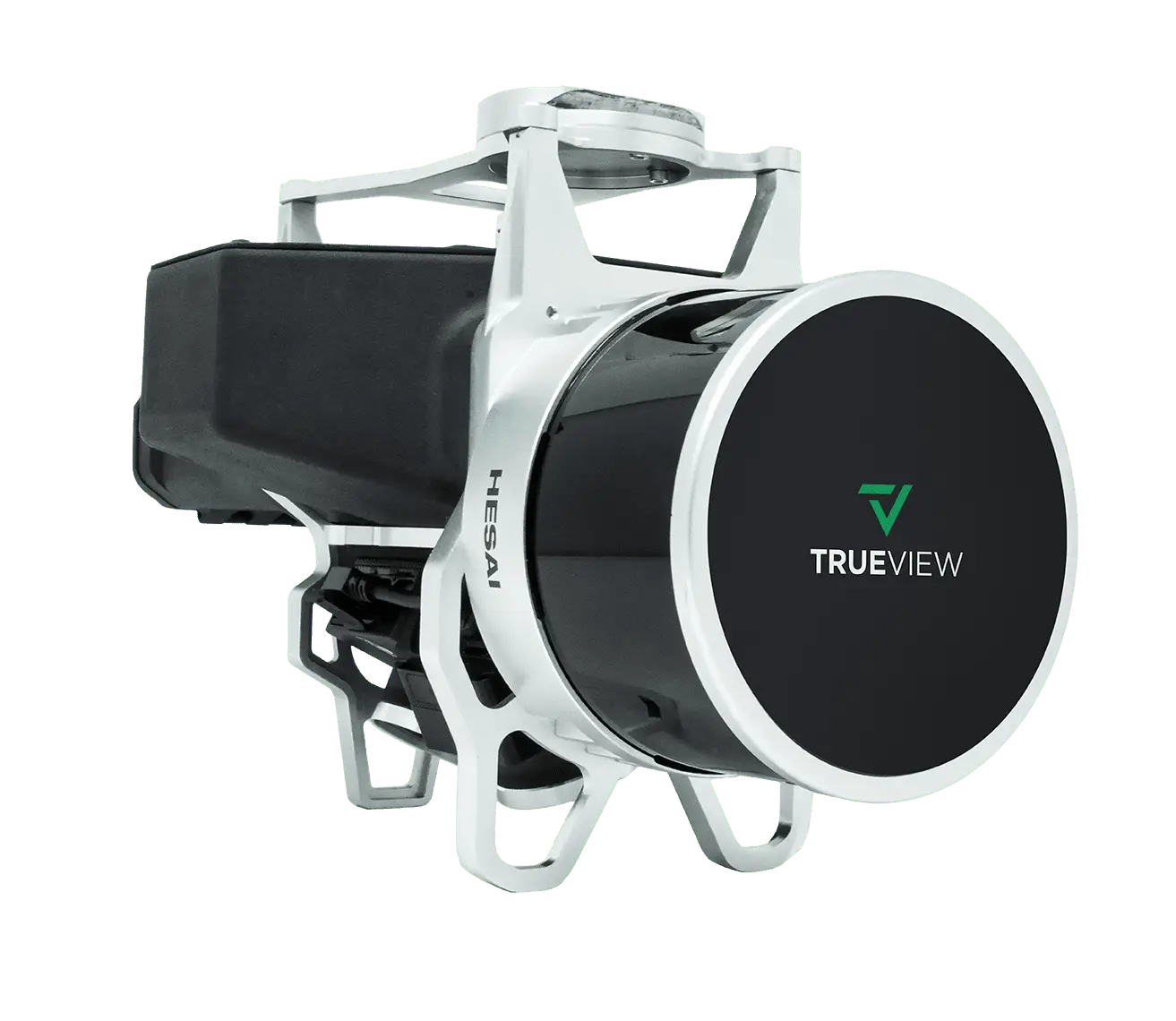
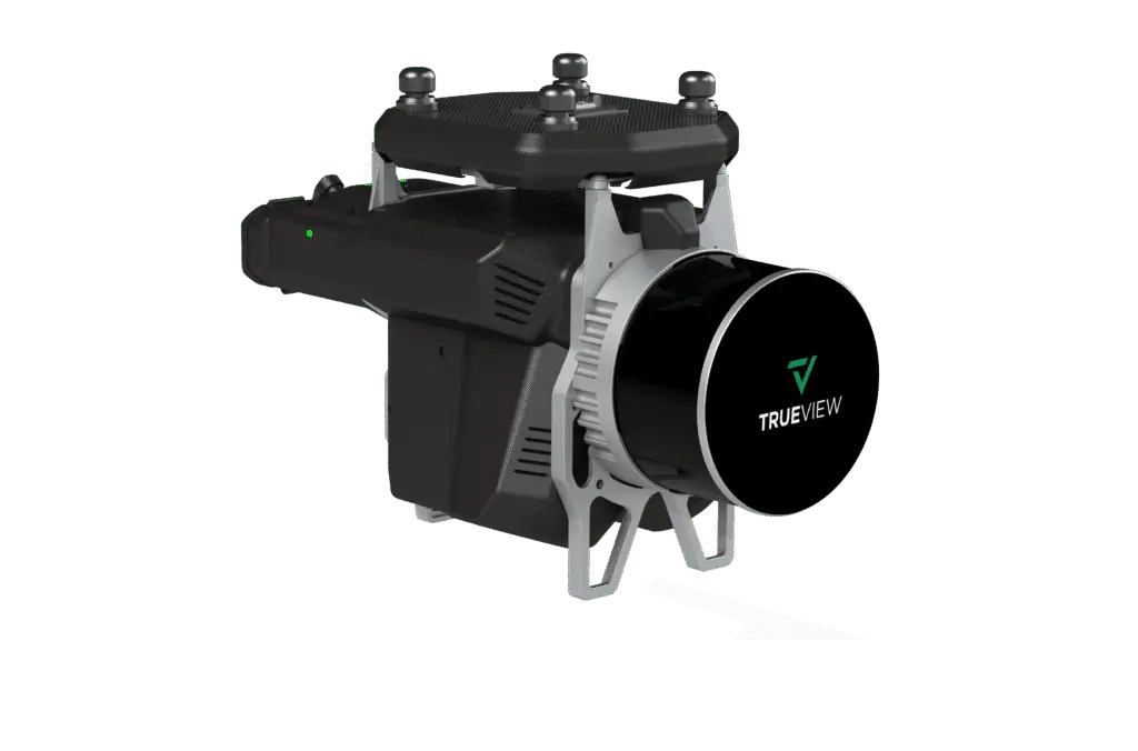
A compact 3D Imaging System with impeccable definition along wires, superior ground cover beneath vegetation, and class-leading sensitivity. The Version C system adds two new oblique 26 MP cameras for direct colorization, and the no-base-station 515APX option delivers survey-grade accuracy with less complexity in the field.
Browse the gallery with the arrows or thumbnails, and click any image to enlarge it.
Dual-camera direct colorization, an optional no-base-station workflow, and GeoCue's complete LP360 software stack.
GeoCue's custom integration of dual cameras with the LiDAR system enables ray-tracing for direct colorization — a more accurate point-cloud representation.
The TrueView 515APX activates unlimited PP-RTX post-processing for survey-grade accuracy with less field complexity — and is mobile-mapping capable.
Impeccable definition along wires, superior ground cover beneath vegetation, and sensitivity unmatched in its class.
A complete LiDAR + photo processing workflow with Strip Align and Photo add-ons, plus one year of support and training.
| Data Collection | LiDAR + Imagery |
|---|---|
| Laser Scanner | Hesai Pandar XT32M1X |
| Beams / Returns | 32 / 2 |
| Usable Range | 80 m @ 20% reflectivity |
| Cross-Track Field of View | 120° |
| Pulse Repetition Rate | 640 kHz |
| Scanner Precision | 10 mm |
| Scanner Accuracy | 20 mm |
| Camera Sensor | 2 × 26 MP Sony mechanical leaf shutter, calibrated |
| GNSS/INS Position | 20–50 mm |
|---|---|
| GNSS/INS Angle | 0.025° Roll/Pitch, 0.08° Heading |
| System Precision | Typ. 20 mm; < 15 mm (1σ) at 75 m on concrete |
| System Accuracy | Typ. 3 cm RMSE; better than 5 cm 3D RMSE |
| No-Base-Station Option | 515APX — unlimited PP-RTX |
| Mass | 1.99 kg (payload unit only) |
Mass listed is the payload unit only and excludes accessories (battery, mount, antenna, power adapter). The 515APX no-base-station option requires a mandatory yearly maintenance fee from the second year.
Pair the TrueView 515 with the right Harris Aerial Carrier for your mission and operating environment.