
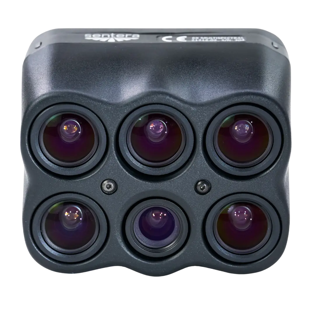
Sentera 6X Multispectral Sensor
Five Spectral Bands & Hi-Res RGB.
The 6X Multispectral Sensor captures synchronized radiometric multispectral and high-resolution RGB imagery, suitable for advanced analytics, all in one single sensor and one flight.
Leveraging a gimbal for stabilization, high-dynamic range, low-noise sensors with premium-quality optics, and an optimized reflectance calibration process, the 6X Multispectral Sensor maintains performance across diverse environmental conditions and across various use cases.
Five Bands Across the Visible & Near-Infrared
The 6X Multispectral resolves five discrete spectral bands plus full-color RGB — from Blue through Near-Infrared — providing the spectral depth for NDVI, NDRE, and advanced vegetation analytics that standard RGB cameras cannot produce.
Bands shown as center wavelength × FWHM. The RGB imager captures full visible color.
| Band | Center Wavelength × Width |
|---|---|
| Blue | 475nm × 30nm |
| Green | 550nm × 20nm |
| Red | 670nm × 30nm |
| Red Edge | 715nm × 10nm |
| NIR | 840nm × 20nm |
| RGB | IR cut 650nm |
The Ultimate Solution for High-Res RGB & Radiometric Multispectral
Maximize Productivity
The 6X Series sensors' lightweight design, 5 FPS capture rate, synchronized image capture, and gimbal allow for faster & longer flights without sacrificing data quality — meaning you can cover more ground each flight.
Ease of Use
Plug-and-play integration on many popular UAS platforms, rig processing support, time-of-capture geo-tagging, and large internal storage reduce training requirements and streamline your workflow. 6X Series sensor data is supported in most multispectral image processing platforms.
Accuracy
Paired with an incident light sensor, calibrated reflectance panel, integrated pulse-per-second (PPS) synchronization, time-of-capture geotagging, and gimbal, 6X Series sensors are ready to produce radiometrically accurate data out of the box.
Seamless Data Layers
Vegetation Health, Elevation, and RGB mosaics are easily overlaid with each other from their independent data layers, allowing for seamless analysis between layers and their respective features.
Advanced Visualization
Simultaneous data capture from the 6X Series sensors enables combining data types — like a hill shade derived from a DSM with a vegetation health map — to contextualize multispectral data with terrain variation.
Request a Demo
6X Multispectral Full Specifications
| Specification | Value |
|---|---|
| Imaging Type | 5-Band Multispectral + 20 MP RGB |
| Resolution | 2048 × 1536 px (Multispectral) / 5184 × 3888 px (RGB) |
| Shutter Type | Global (Multispectral) / Electronic Rolling Shutter (RGB) |
| Capture Rate | 5 FPS (0.2s interval) |
| GSD @ 200ft (60m) | 1.0 in / 2.6 cm (Multispectral) / 0.4 in / 1.0 cm (RGB) |
| Field of View | 47° HFOV (Multispectral and RGB) |
| Spectral Bands | Blue 475nm × 30nm / Green 550nm × 20nm / Red 670nm × 30nm / Red Edge 715nm × 10nm / NIR 840nm × 20nm / RGB IR cut 650nm |
| Storage | 512 GB Internal SSD |
| Interfaces | USB-C 3.0, Gigabit Ethernet, PPS, Serial, Discrete I/O |
| Supported Protocols | DJI, MAVlink V1 & V2, Custom |
| Image Format | 12-bit TIFF (Multispectral) / 8-bit JPEG (RGB) |
| Vegetation Indices | NDVI, NDRE, GNDVI, OSAVI, CIre, Chlorophyll Index, and more |
| Radiometric Calibration | Calibrated Reflectance Panel included (incident light sensor optional) |
| Weight (with gimbal) | Smart Dovetail: 515 g |
| Power Input | 10.5 – 26 V |
| Power Consumption | 15 W typical, 18 W max |
| Spec Sheet | Download 6X Multispectral Spec Sheet (PDF) |
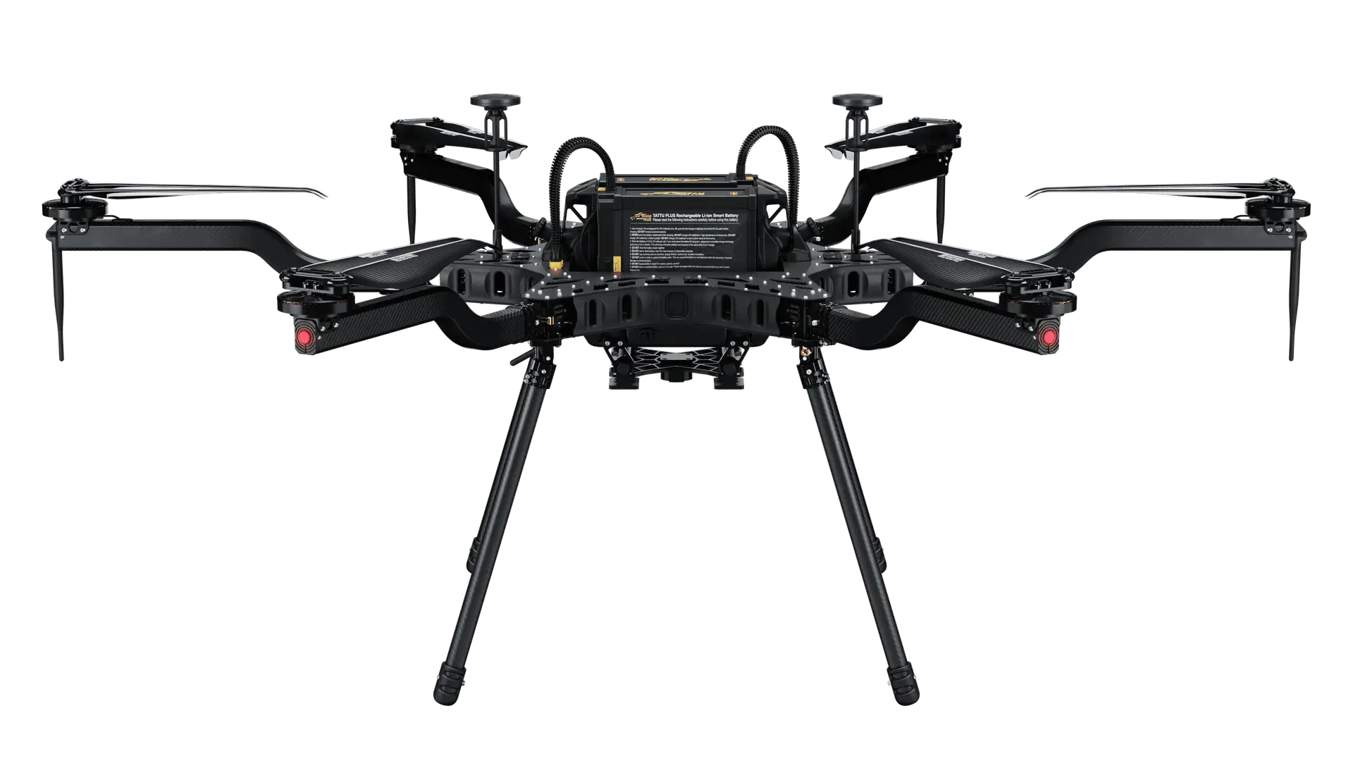
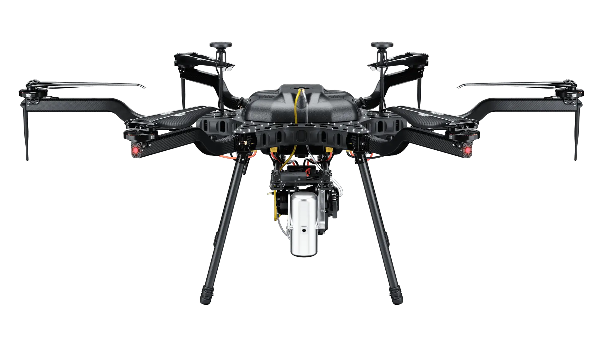
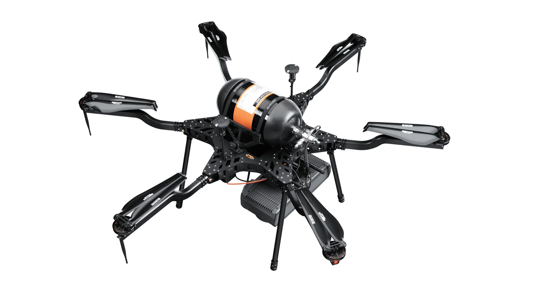
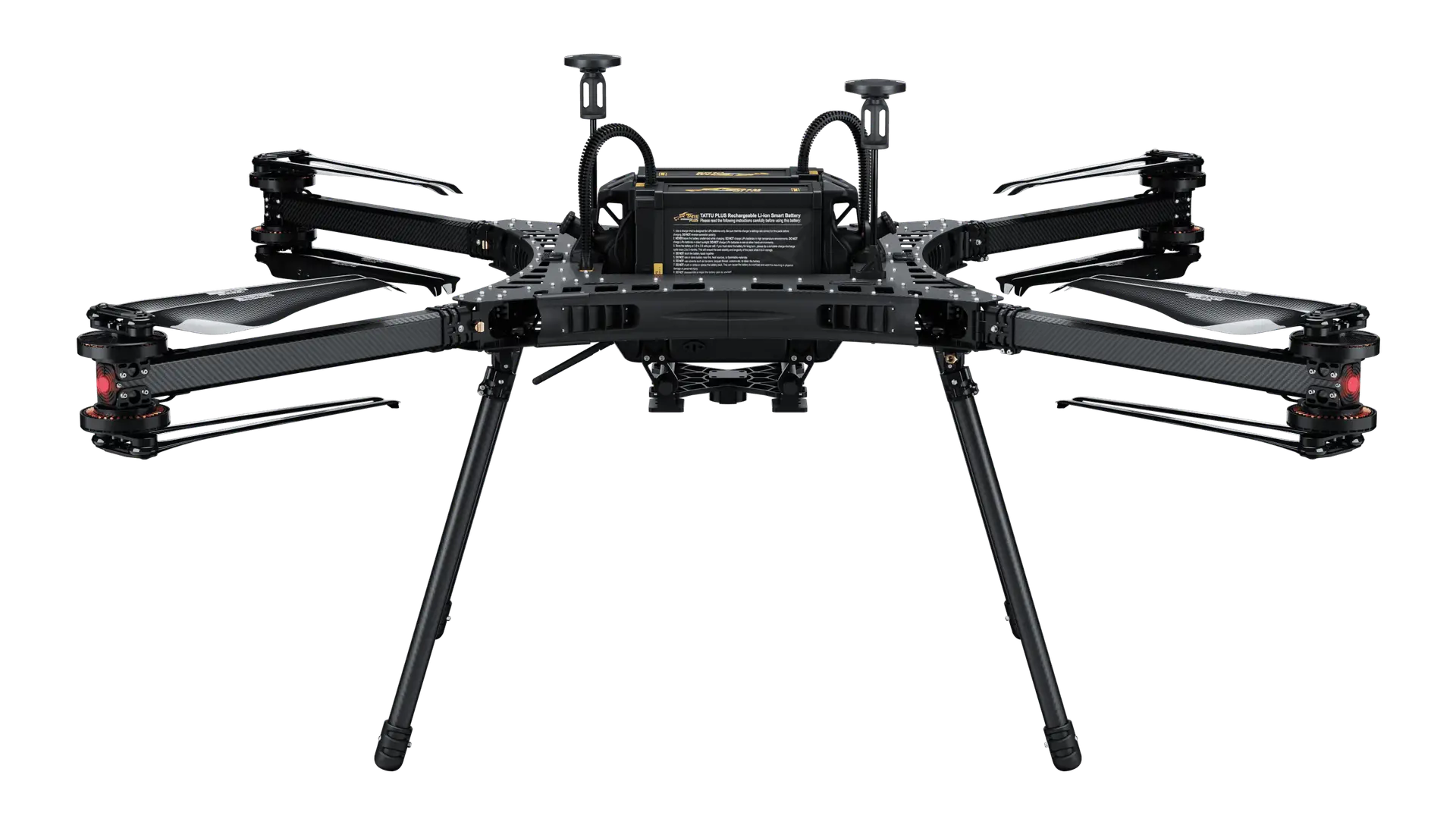
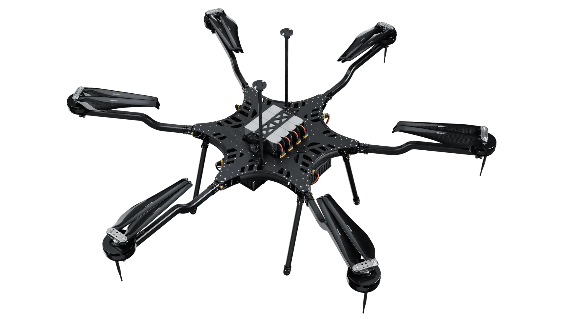
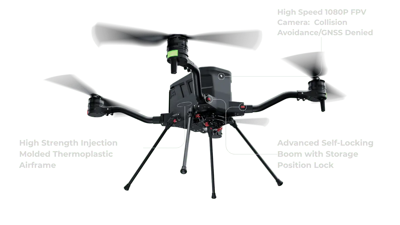
Compatible with Harris Aerial Carrier Drones
The Sentera 6X Multispectral integrates seamlessly with Harris Aerial's heavy-lift Carrier platforms, giving agricultural operators the flight endurance and payload capacity for large-scale field coverage in a single mission.
From Field Scouting to Precision Application
Crop Health Monitoring
Detect plant stress, disease pressure, pest damage, and nutrient deficiency weeks earlier than visual scouting. NDRE captures stress invisible to NDVI.
Irrigation Management
Identify irrigation uniformity issues, detect dry zones before yield loss occurs, and support variable-rate irrigation scheduling with field-wide NIR data.
Variable Rate Application
Generate prescription maps for fertilizer, pesticide, and micronutrient applications based on real multispectral field data rather than uniform assumptions.
Yield Prediction & Analytics
Track canopy development, biomass accumulation, and in-season vigor trends that correlate with yield outcomes and inform harvest planning decisions.
Cover Crop Evaluation
Assess cover crop establishment, species uniformity, and stand density across large fields to verify agronomic programs and document outcomes.
Research & Agronomy
Support agronomic research trials, university field studies, and crop consulting programs with calibrated, repeatable multispectral data over time.
Frequently Asked Questions
See What Your Fields Are Really Telling You
Five-band multispectral data reveals what RGB imagery alone misses. Pair the Sentera 6X with a Harris Aerial Carrier drone and start making data-driven agronomic decisions.