A LiDAR drone has to lift the scanner, hold it steady enough for the IMU and GNSS to do their work, and stay up long enough to finish the corridor or the site. The LiDAR systems in our main lineup weigh 1.8 to 3.5 kg. Our Carrier platforms carry 4 to 40 kg, and with LiDAR aboard they fly from about 24 minutes (H4C at 4 kg) to about 185 (H6 Hybrid EFI at 2 kg).
Pick the airframe by the two numbers that matter on a LiDAR job: how much the complete sensor package weighs, and how long you need to stay airborne per sortie. The figures below come from our controlled flight tests at 120 m AGL in 20°C, no-wind conditions, with a two-minute landing reserve included. Payload includes the sensor and all mounting hardware.
We build the aircraft in Casselberry, Florida, and integrate Phoenix LiDAR, GeoCue TrueView and RedTail systems onto them. Platform figures come from our product pages and flight tests, scanner figures from each maker’s published specifications, and customer results from the customer’s own announcement, linked where they appear.

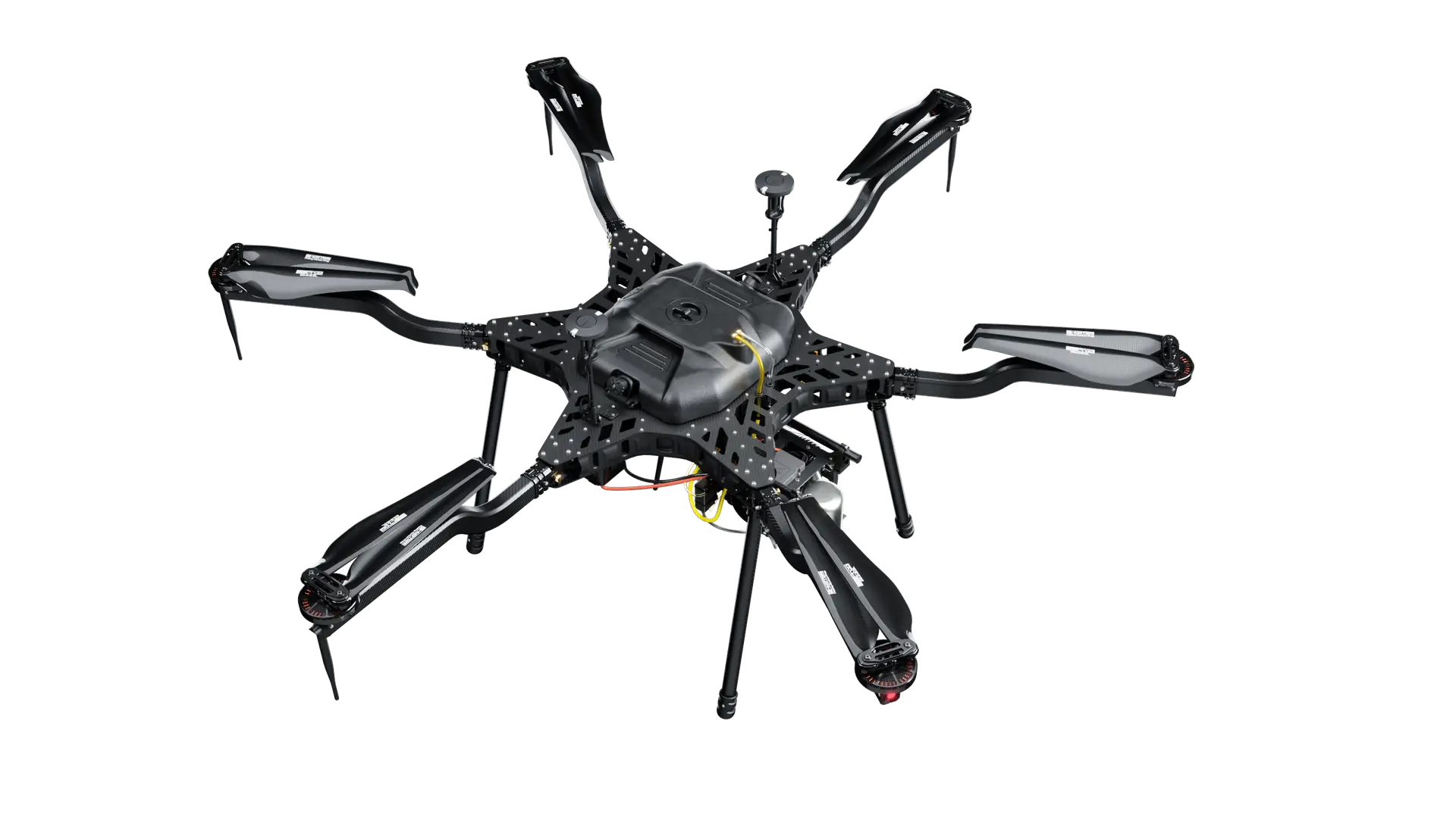
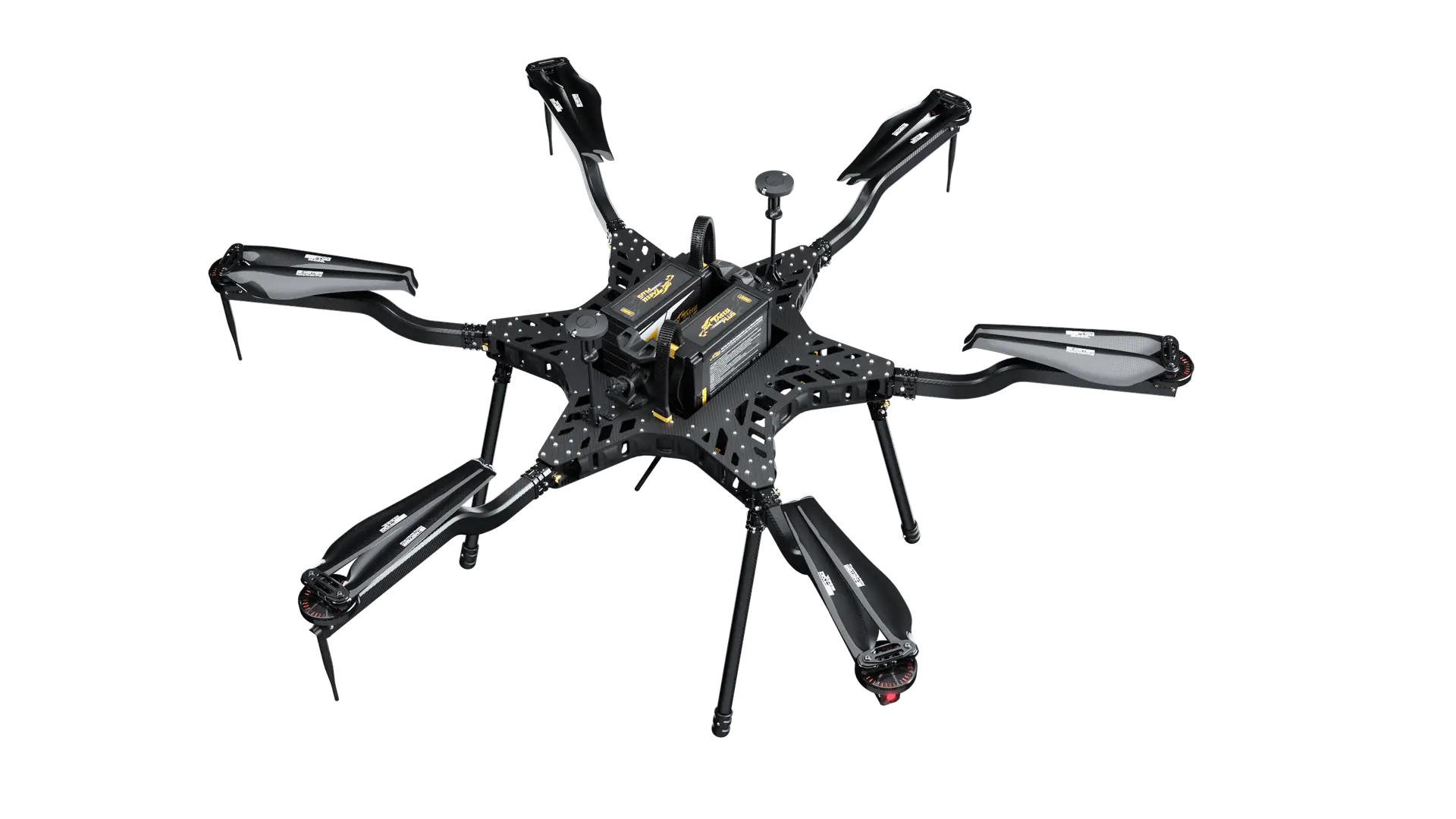
Area mapping, forestry and SAR. Two 12S 16,000 mAh smart packs on field-swap racks, dual RTK GNSS and the dampened quick-release payload mount.
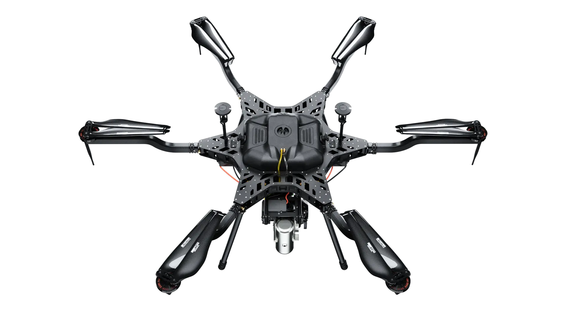
Long corridors, large grids and remote sites with no charging. A 2.4 kW H2400 EFI generator and a 6.5 L tank of 93-octane unleaded; refuelling takes about as long as a battery swap.
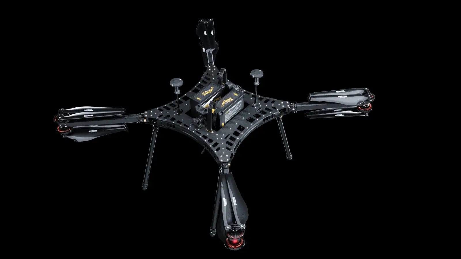
Redundant lift for dense or built-up areas and shoreline work, with the same 8 kg capacity as the H6 Electric on a coaxial frame.

Full-size airborne scanners and multi-sensor arrays. The heavier systems in our library are matched to this airframe.
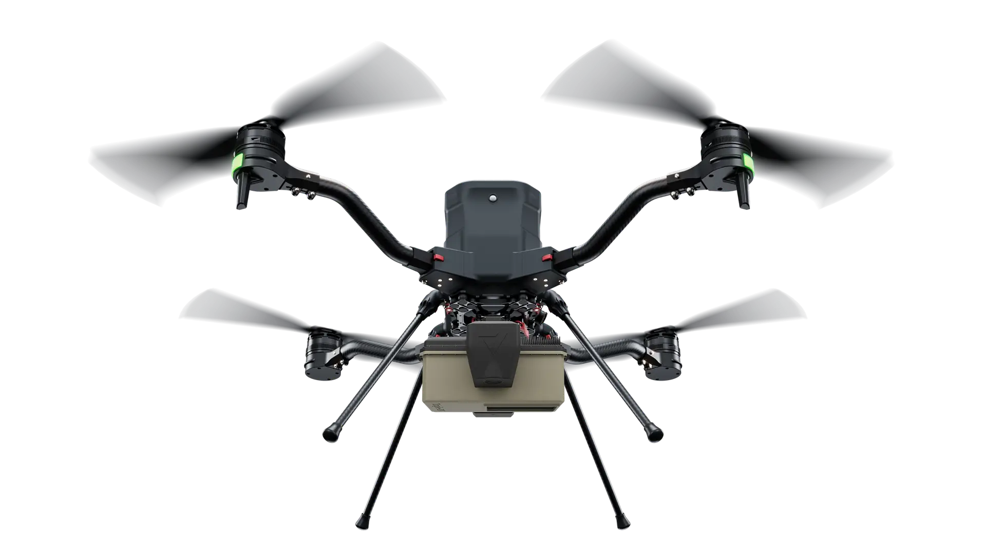
Foldable quad for compact-class scanners and single-operator deployment. Pre-orders are open; the first production run is scheduled for the end of Q1 2027.
| Platform | Max payload | Flight time, no payload | Flight time with a typical LiDAR load | Power | Compliance | Fit for |
|---|---|---|---|---|---|---|
| Carrier H6 Electric | 8 kg (17.6 lb) | 48 min | ~38 min at 4 kg ~29 min at 8 kg | 2× 12S 16,000 mAh smart packs, field-swap racks | NDAA; Blue UAS Cleared List | Area mapping, forestry, SAR; the workhorse LiDAR carrier |
| Carrier H6 Hybrid EFI | 5 kg (11 lb) | 240 min | ~185 min at 2 kg ~100 min at 5 kg | 2.4 kW H2400 EFI generator, 6.5 L tank | NDAA; Blue UAS Cleared List | Long corridors, large grids, remote sites with no charging |
| Carrier HX8 | 8 kg | 43.2 min | ~34 min at 4 kg ~26 min at 8 kg | Coaxial octocopter, battery | NDAA | Redundant eight-motor lift for dense or built-up areas |
| Carrier H6HL | 40 kg | 48 min | ~30 min at 20 kg ~15 min at 40 kg | Electric | NDAA; Blue UAS Cleared List | Full-size airborne scanners and multi-sensor arrays |
| Carrier H4C Quad | 4 kg (8.8 lb) | 50 min | ~24 min at 4 kg | Battery, foldable quad | NDAA | Compact-class LiDAR, single-operator deployment; pre-orders open, first run scheduled for the end of Q1 2027 |
Sources: Harris Aerial product pages and controlled flight tests; payload and endurance figures as published on each platform page linked in the first column. Our H6 Electric product page lists a 12,000 ft AMSL service ceiling and roughly 15% less flight time at that altitude. The H6 Electric, H6 Hybrid EFI and H4C carry dual RTK GNSS, and the H6 family uses a dampened quick-release payload mount with regulated 5 V / 12 V / 24 V / 48 V power and UART, Ethernet, CAN, USB and GPIO data, which is what lets a LiDAR unit move between airframes without a rewire.
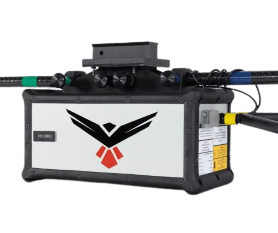
These are the systems in our payload library today, with the figures each maker publishes. Mass is the number to carry into the platform table above. Accuracy is quoted at the altitude the maker tests at where the maker publishes one, because a scanner’s RMSEz at 80 m and at 350 m are two different jobs. Phoenix quotes a maximum flying height; GeoCue quotes usable slant range; the Ranger-U120 and TrueView 720 share the same Riegl VUX-120 scanner.
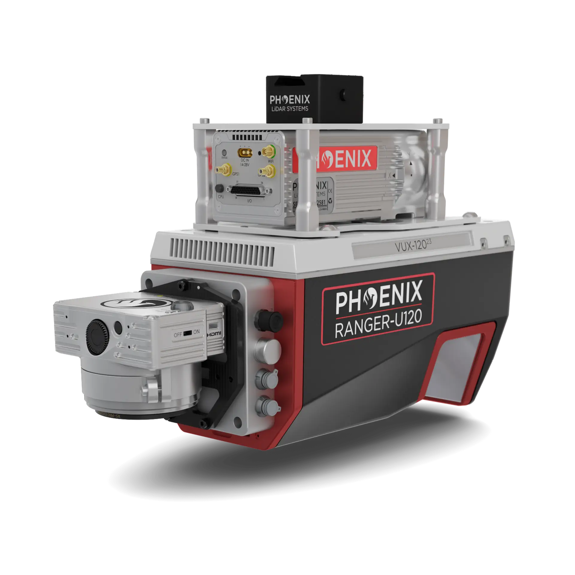
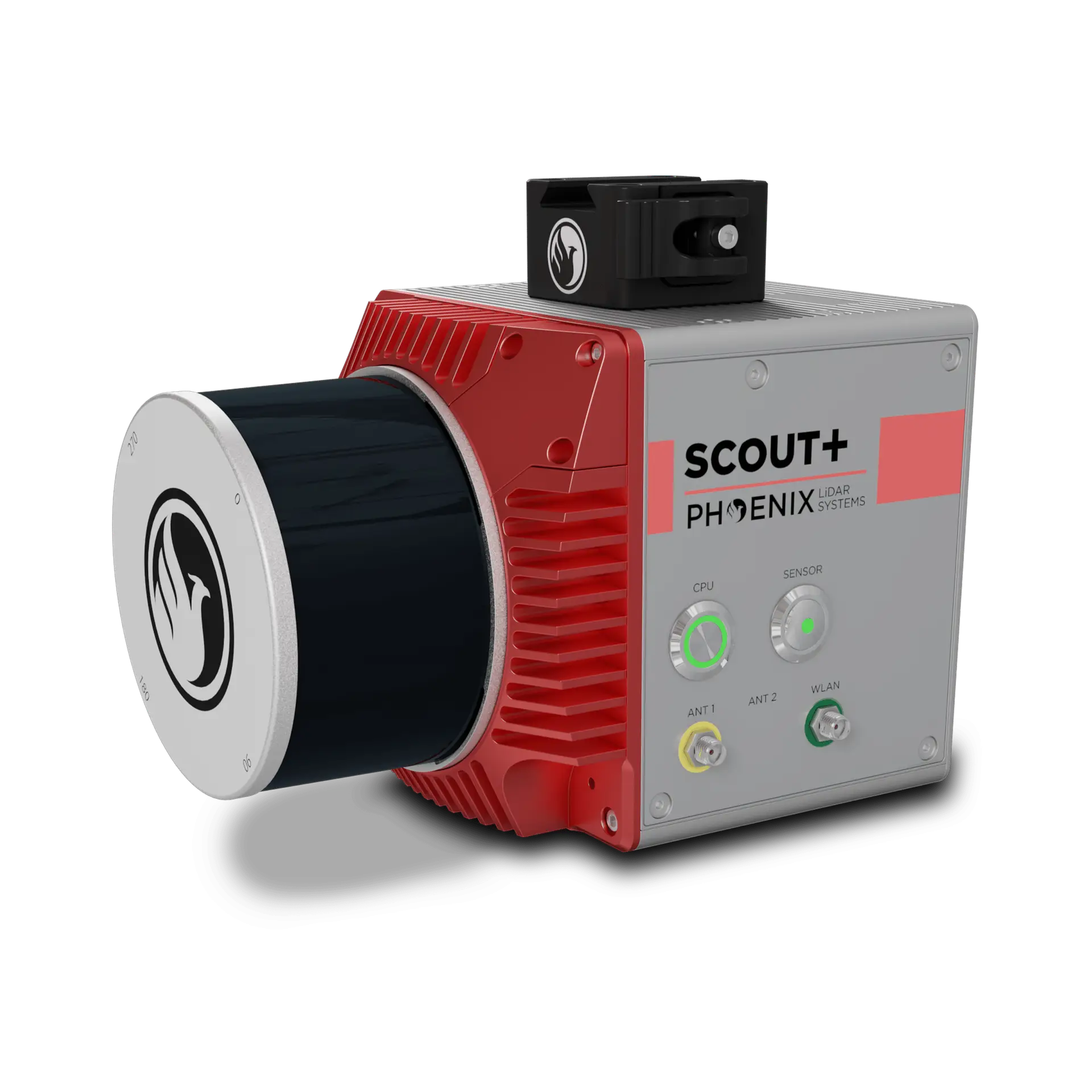
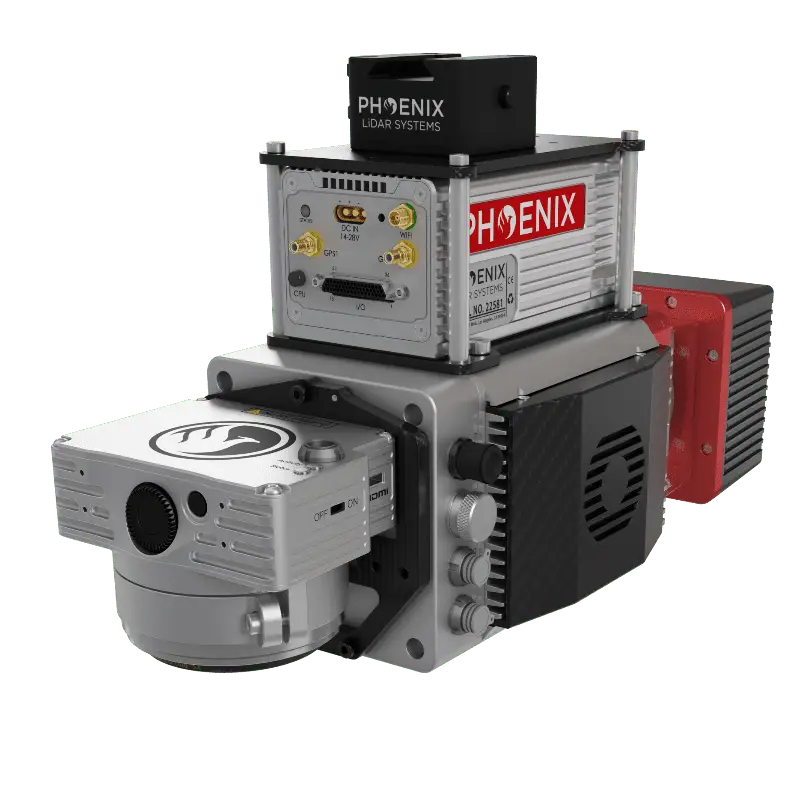
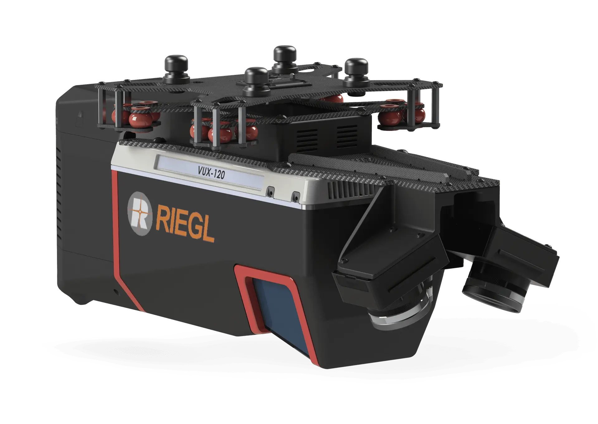
Sources: each maker’s published specification as reproduced on the linked Harris Aerial payload page (Phoenix LiDAR Systems, GeoCue, RedTail LiDAR Systems).
The library also holds the Phoenix Ranger-U240, Ranger-U160, Ranger-UAV22 / LR22 LITE, Ranger-UAV22 FLEX and HydroRanger for bathymetry, and the GeoCue TrueView 515, 535, 540, 625, 680 / 680LR and TV1. If you already own a scanner that is not listed, send us its mass, mount pattern and power and data requirements and we will tell you which platform fits.
A 1.8 to 3.5 kg scanner lands between 2 and 4 kg once the mount, cabling and antennas are counted. On a Carrier H6 Electric that is the 4 kg column in our tests, about 38 minutes of flight per battery rack, and the racks swap in seconds on quick-release plungers. On the H6 Hybrid EFI, a 2 kg package flies about 185 minutes on one 6.5 L tank of 93-octane unleaded and a 5 kg package about 100, and refuelling takes about as long as a battery swap.
The scanner may fit a mid-size quadcopter, but it’s the usable flight time after the sensor goes on that sets how many sorties a corridor takes.
Figures from our controlled flight tests as published on each platform page; yellow bars are the typical LiDAR loads, grey bars are each airframe at full rated payload.
According to ETM Surveying & Mapping’s own announcement, the firm flies our H6 Hybrid with a Riegl VUX-1 and turns around conventional topographic surveys six times faster than the industry average while holding survey-grade accuracy through canopy and vegetation.
A sub-2.5 kg scanner with its mount, cabling and antennas lands near the 2 kg weight we tested on the H6 Hybrid EFI. For the battery aircraft we quote the 4 kg figure, the conservative side of where the package lands.
A 2.9 to 3.5 kg scanner with its mount lands at or just over 4 kg. The H6 Electric and HX8 carry it with margin to spare; the 3.5 kg FOG unit takes the H4C to its 4 kg limit, so plan it as a full-capacity load. On the Hybrid we quote the 5 kg figure rather than interpolating.
We quote every LiDAR package as two line items: the ready-to-fly platform as a base package, and the sensor integration. We don’t publish list prices, because the sensor choice moves the total more than anything else. Here is what sits inside each line so your budgetary request comes back fast.
Send us the job, the required accuracy and the scanner you have in mind and we’ll return a budgetary quotation on a branded PDF you can forward internally. Contact sales.
Every Harris Carrier platform is built to Section 848 of the FY2020 NDAA, which bars flight controllers, radios, data transmission devices, cameras, gimbals, ground control systems and operating software from covered foreign countries. The flight controller is a Cube Orange+ running our custom ArduPilot fork. The H6 Electric, H6 Hybrid EFI and H6HL appear on the Blue UAS Cleared List in their listed configuration, which is the list federal and defense buyers check. Commercial orders ship NDAA-compliant; we quote the Blue UAS-listed configuration for defense and federal buyers.
GeoCue’s TrueView 641, 655 and 660 are NDAA-compliant payloads; the 641 is assembled in Huntsville, Alabama. If your solicitation calls out payload compliance, say so in the request and we will quote the matching sensor. Our page on NDAA-compliant drones for federal and government buyers covers the configurations, and our 2026 guide to NDAA-compliant heavy-lift drones explains how Blue UAS and NDAA differ.
Ten pounds is 4.5 kg. The H6 Electric and HX8 carry a 4.5 kg package with 3.5 kg to spare and the H6HL with 35 kg to spare. The H6 Hybrid EFI is rated to 5 kg, so it has 0.5 kg of margin, and ETM Surveying & Mapping flies a Riegl VUX-1 on one. At 4.5 kg, expect a little under 38 minutes per rack on the H6 Electric and a little over 100 minutes per tank on the Hybrid.
Not for the sensor’s weight alone; a 1.8 kg Scout-M2X+ fits a mid-size quadcopter. You need one for usable flight time once the sensor, antennas and mount are aboard, and for the stability a 25 kg maximum-takeoff-weight airframe such as the H6 Electric gives the IMU in wind. If your current aircraft lands before the job is done, look at the airframe first.
About 34 (HX8) to 38 (H6 Electric) minutes per battery rack with a 4 kg package, 26 to 29 minutes at the full 8 kg, and about 185 minutes at 2 kg to 100 at 5 kg per tank on the H6 Hybrid EFI. Those are our flight-test figures at 120 m AGL with a two-minute reserve, not no-payload maximums.
For area work, an H6 Electric with a Scout-M2X+, miniRANGER-3 LITE or TrueView 641; for corridors, the H6 Hybrid EFI with a Ranger-U120 or TrueView 720, picked by the accuracy you’re contracted to deliver at your flying height and an airframe that finishes the job in one sortie.
The scanner drives the price more than the aircraft. A Scout-M2X+ or Recon-XT keeps a package at the low end; a Riegl-based Ranger-U120 or TrueView 720 moves it up a class. We quote the platform and the integration as separate line items; send us the job and we return a budgetary quote.
In our library, the GeoCue TrueView 641, 655 and 660 are built and sold as NDAA-compliant payloads. Every Harris airframe they fly on meets Section 848, and the H6 Electric, H6 Hybrid EFI and H6HL appear on the Blue UAS Cleared List.
Yes. The H6 Electric and H6 Hybrid EFI share the same dampened quick-release mount and payload power and data interface, so a scanner integrated on one transfers to the other; the Hybrid carries it through a 19-pin Universal Payload Connector. Phoenix also builds the Scout and Recon series to move between UAV, vehicle and backpack mounts.
Survey-grade results come from the sensor’s own positioning, which is why we spec it with the scanner: the Applanix APX-18 in the RedTail, the FOG or STIM IMU options in the miniRANGER-3 LITE, and GeoCue’s PP-RTX corrections on the TrueView line. Our H6 Electric, H6 Hybrid EFI and H4C add dual RTK GNSS for flight-path repeatability, which keeps swath overlap consistent across a grid.
Multi-return scanners do. The miniRANGER-3 LITE records up to five returns per pulse, the TrueView 641 up to six, and the TrueView 720 up to 32, which is how ground points are recovered under canopy.
It ships with the sensor. The Recon-XT includes the LiDARMill cloud platform and the Phoenix software suite, TrueView units include GeoCue’s workflow with unlimited PP-RTX, and the RedTail RTL-450 includes a lifetime processing license. We’ll walk your crew through the workflow in the two days of training that come with each platform.
Yes, for compact-class scanners up to 4 kg. We demonstrated it with the 3.0 kg Phoenix Ranger-U120 at TopoDOT 2026; see our integrations and demos. Pre-orders are open and, as of October 2026, the first production run is scheduled to ship at the end of Q1 2027.
Send the required accuracy, the area or corridor length, and the scanner you have in mind or already own. Our engineering team replies with a platform recommendation and a budgetary quotation. If you’d rather talk it through, call (407) 725-7886.

USA-made heavy-lift drones built for the missions that cannot fail. Talk to our engineering team about your next LiDAR deployment.

USA-made drones — engineered for the missions where reliability is non-negotiable.