A drone line clearance survey flies a LiDAR sensor down a right-of-way and measures the distance from each conductor to the nearest vegetation, so a utility can see which spans are closing on their clearance limits before a limb ever reaches a line. It gives the vegetation team a measured, span-by-span answer instead of a visual estimate from the ground or a helicopter seat. On transmission lines, the same point cloud also documents the annual inspection that NERC’s FAC-003 standard requires.
What a line clearance survey measures
The question is narrow: how close is the vegetation to the wire? Answering it takes three things in the same coordinate frame. You need the position of each conductor, the position of every tree and shrub near it, and an accurate ground surface underneath. A survey-grade LiDAR on a drone captures all three in one pass, and processing software classifies the points as ground, vegetation, conductor and structure.
From there the analysis is geometry. Software measures the distance from each conductor to the nearest vegetation point and flags spans where that distance falls under the threshold your vegetation program sets. Engineers then account for the fact that the line was surveyed at one temperature and load, and will sag lower when it runs hot. That last step is why clearance work is done with engineering software, not by eyeballing a 3D model.
Here is how the three common ways of checking clearance compare:
| Ground or visual patrol | Drone with photos only | Drone with LiDAR | |
|---|---|---|---|
| Measures conductor-to-vegetation distance | Estimated by eye | Limited: photogrammetry can model canopy but rarely resolves thin conductors | Yes, measured in 3D |
| Sees under and between canopy | Partly, from the ground | No | Partly, through gaps, using multiple returns |
| Repeatable year over year | Depends on the inspector | Limited | Yes, flights can be compared span by span |
| Output | Notes and photos | Image set | Classified point cloud and a clearance report |
Where FAC-003 comes in
For transmission owners, vegetation work isn’t optional. NERC’s FAC-003 Transmission Vegetation Management standard applies to lines operated at 200 kV and above, plus some lower-voltage lines with system-level importance. It requires a vegetation inspection of 100% of applicable lines at least once per calendar year, with no more than 18 calendar months between inspections on the same right-of-way. It also sets minimum vegetation clearance distances that must never be breached.
A LiDAR survey doesn’t replace a utility’s vegetation management plan. It gives that plan better evidence: a dated, measured record of every span, which is a stronger audit trail than a patrol note saying the line looked clear.
Distribution lines fall outside FAC-003. Their trim cycles and clearance specs are set by each utility and its state regulators, but the measurement problem is the same: find the spans where vegetation is closing in, and prove which ones were checked.
What the aircraft has to do
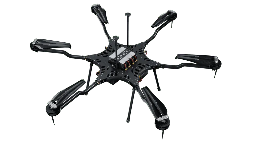
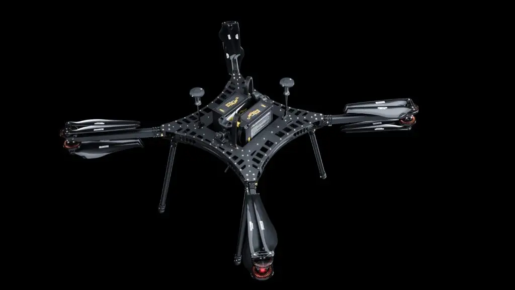
Line clearance is corridor work, and corridors are long. The aircraft has to carry a survey LiDAR plus RTK positioning, fly a steady line at a consistent height and speed so point density stays even, and stay up long enough to make the trip worth the setup.
- Payload margin. A survey LiDAR, its IMU and mount, and any second sensor add up fast. Our Carrier airframes fly LiDAR systems including Phoenix LiDAR, GeoCue TrueView and RedTail, listed on our payloads page.
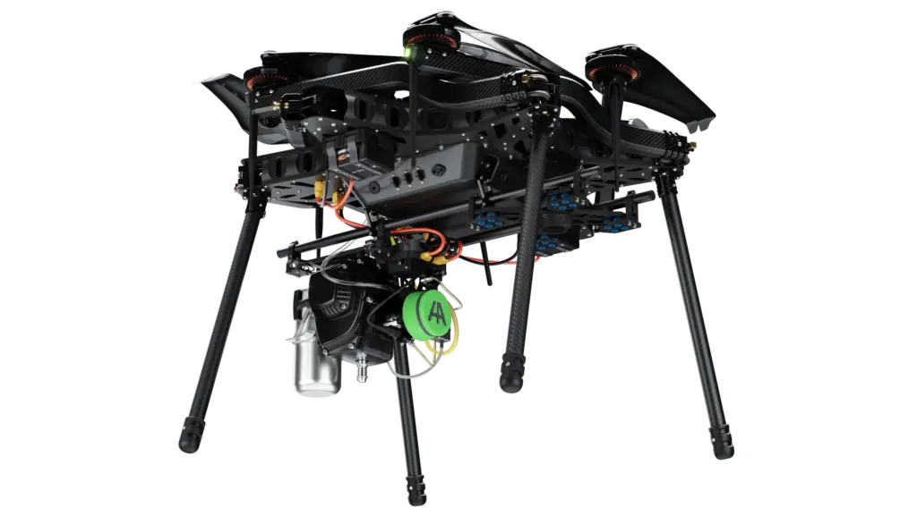
- Endurance. Battery multirotors generally fly for well under an hour, and less with a heavy sensor. For long corridors our gas-electric Carrier H6 Hybrid EFI is rated for up to 240 minutes, a maximum figure that drops as payload weight goes up.
- Positioning. Clearance distances are only as good as the georeferencing. Plan for RTK or PPK on the aircraft and ground control on the corridor.
The BVLOS question
Corridor surveys are the clearest case for flying beyond visual line of sight, and the rules haven’t caught up yet. The FAA proposed Part 108 to normalize BVLOS operations, and as of early October 2026 the final rule has been under White House review since July. Until it’s published and in effect, BVLOS flights still need an existing FAA waiver, exemption or other authorization. Many programs today fly visual line of sight segments with observers, or operate under a waiver.
A waiver can change the economics. In June 2023, Valmont flew a non-stop 77-mile BVLOS inspection from Childress to Aspermont, Texas on a Harris Aerial H6-series aircraft, covering power lines, railroads and bridges in under three hours on less than two gallons of fuel. Valmont reported it pushed its average inspection distance from under 20 miles a day to more than 60. The details are in our Valmont 77-mile flight write-up.
How to plan a drone line clearance survey
- Scope it against your thresholds. List the circuits and spans, and take the clearance thresholds from your vegetation management plan, not from a generic table.
- Match the sensor and flight to the canopy and the aircraft. Dense canopy needs a multi-return LiDAR and enough point density to separate branches from conductors, and the corridor gets split into segments that fit the aircraft’s endurance at your real payload weight.
- Lock down positioning. RTK or PPK on the aircraft plus ground control on the corridor, with every flight’s metadata kept beside the point cloud.
- Classify, measure, and hand crews coordinates. Classify ground, vegetation, conductor and structure points, run the clearance analysis, and export flagged spans with locations so trim crews go straight to them.
Where to go from here
Our powerline and utility inspection guide covers the full inspection sensor stack and the supply-chain questions utility buyers ask, and our utility drones page shows how the Carrier line is configured for utility programs. If you’re scoping a clearance program, tell our team the corridor length and the sensor you plan to fly.
Frequently asked questions
What is a line clearance survey?
It is a survey that measures how close vegetation is to overhead power lines, span by span, so a utility can prioritize trimming before a clearance limit is breached.
How often do transmission lines need vegetation inspections?
Under NERC FAC-003, applicable transmission lines must be inspected at least once per calendar year, with no more than 18 calendar months between inspections on the same right-of-way.
Can a drone measure line clearance with photos alone?
Photos show encroachment, and photogrammetry can model the canopy, but it rarely resolves thin conductors well enough for a clearance number. LiDAR measures the 3D position of conductors and vegetation, which is what a clearance number needs.
Can a utility drone fly a corridor beyond visual line of sight?
Only with FAA authorization today. As of early October 2026, the FAA’s Part 108 BVLOS rule was still under final review and not yet in effect.
What drone is best for line clearance work?
One that carries a survey LiDAR with margin to spare and flies long enough to cover meaningful corridor per sortie. In our line-up that means the H6 Hybrid EFI for long corridors, and a battery-electric Carrier for shorter segments where a fast turnaround matters more than endurance.