
Sentera 6X Thermal Sensor
Synchronized multispectral, high-resolution RGB, and thermal data in a single flight.
With four 3.2MP multispectral imagers, a 20MP RGB imager, and a FLIR Boson 320 thermal imager, the 6X Thermal ensures precise data. Its ultra-lightweight, gimballed design, high capture rate, and 512GB internal SSD storage maximize productivity.
Ideal for advanced analytics, it supports seamless data integration into common software platforms for informed decision-making. The Sentera 6X Thermal empowers agronomists, researchers, and industry professionals to make informed decisions based on precise and accurate data.
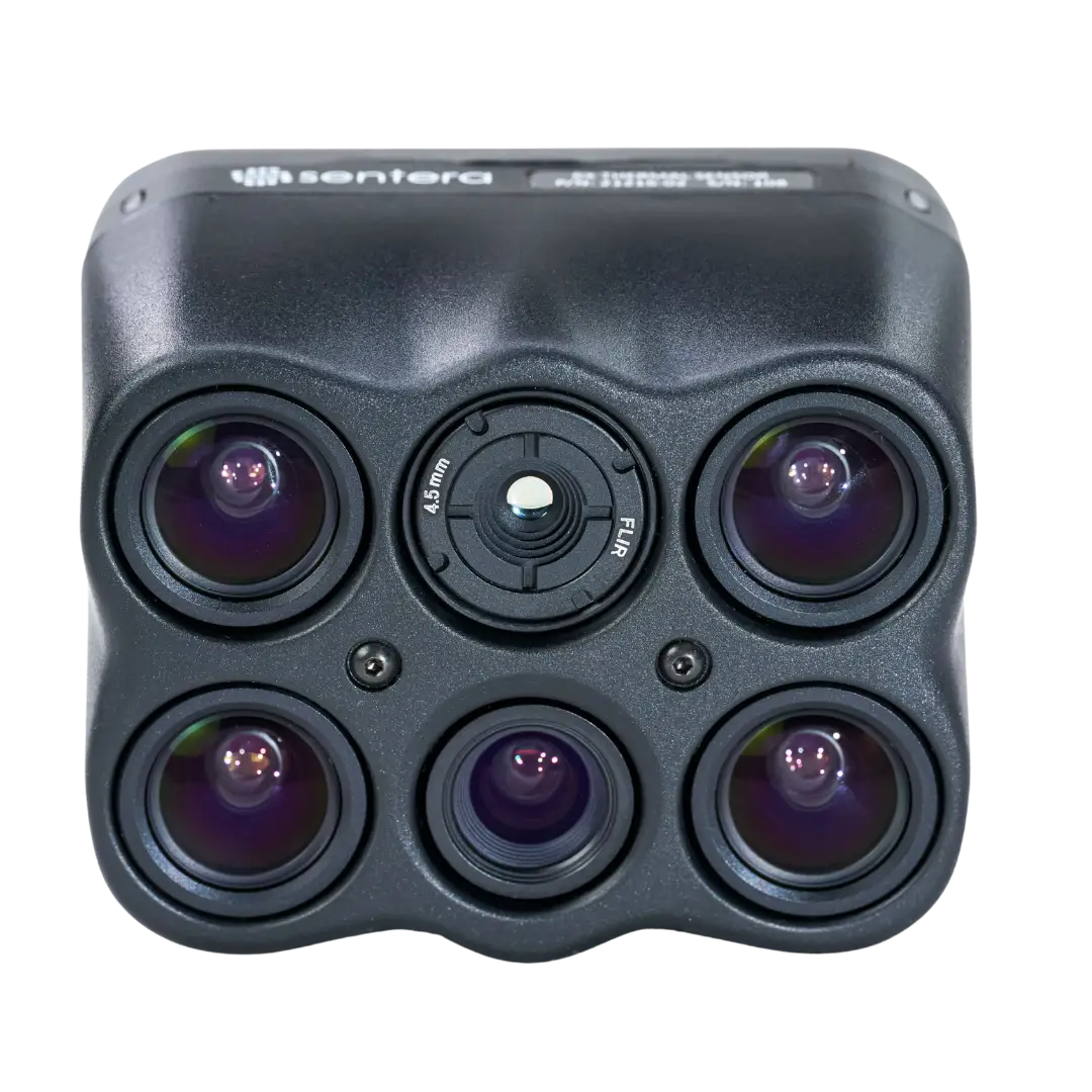
Four Multispectral Bands + Radiometric Thermal
The 6X Thermal captures four discrete multispectral bands plus full-color RGB across the visible and near-infrared, alongside a radiometric long-wave thermal band (8–14 µm) — thermal and vegetation data co-registered from a single flight.
Bands shown as center wavelength × FWHM; thermal band on a broken axis. The RGB imager captures full visible color.
| Band | Center Wavelength × Width |
|---|---|
| Green | 550nm × 20nm |
| Red | 670nm × 30nm |
| Red Edge | 715nm × 10nm |
| NIR | 840nm × 20nm |
| RGB | IR cut 650nm |
| Thermal (LWIR) | 8–14 µm (radiometric) |
Thermal and Spectral Data. One Flight. One Sensor.
Ideal for research, land management, and infrastructure inspections, the 6X Thermal empowers professionals to make informed decisions with precise, detailed data.
Thermal Mapping Made Easy
6X Thermal sensors are designed with thermal mapping in mind. Their synchronized and aligned imagery enables rig processing and makes orthorectifying thermal imagery more effective, producing thermal maps with ease.
Maximize Productivity
The 6X Series sensors' lightweight design, 5 FPS capture rate, synchronized image capture, and gimbal allow for faster & longer flights without sacrificing data quality — meaning you can cover more ground each flight.
Ease of Use
Plug-and-play integration on many popular UAS platforms, rig processing support, time-of-capture geo-tagging, and large internal storage reduce training requirements and streamline your workflow. 6X Series sensor data is supported in most multispectral image processing platforms.
Accuracy
Paired with an incident light sensor, calibrated reflectance panel, integrated pulse-per-second (PPS) synchronization, time-of-capture geotagging, and gimbal, 6X Series sensors are ready to produce radiometrically accurate data out of the box.
Seamless Data Layers
Vegetation Health, Thermal, Elevation, and RGB mosaics are easily overlaid with each other from their independent data layers, allowing for seamless analysis between layers and their respective features.
Advanced Visualization
Simultaneous data capture from the 6X Series sensors enables combining data types — like a hill shade derived from a DSM with a vegetation health map — to contextualize multispectral data with terrain variation.
Request a Demo
6X Thermal Full Specifications
| Specification | Value |
|---|---|
| Imaging Type | 4-Band Multispectral + 20 MP RGB + Radiometric Thermal |
| Thermal Sensor | FLIR Boson 320 (radiometric) |
| Thermal Resolution | 320 × 256 px |
| Thermal Spectral Range | 8–14 µm LWIR (radiometric) |
| Thermal Sensitivity (NETD) | < 50 mK |
| Radiometric Output | Yes — absolute temperature per pixel |
| Resolution | 2048 × 1536 px (Multispectral) / 5184 × 3888 px (RGB) / 320 × 256 px (Thermal) |
| Shutter Type | Global (Multispectral) / Electronic Rolling Shutter (RGB) / Shutterless (Thermal) |
| Capture Rate | 5 FPS (0.2s interval) |
| GSD @ 200ft (60m) | 1.0 in / 2.6 cm (Multispectral) / 0.4 in / 1.0 cm (RGB) / 6.9 in / 17.5 cm (Thermal) |
| Field of View | 47° HFOV (Multispectral and RGB) / 50° HFOV (Thermal) |
| Spectral Bands | Green 550nm × 20nm / Red 670nm × 30nm / Red Edge 715nm × 10nm / NIR 840nm × 20nm / RGB IR cut 650nm / Thermal (LWIR) radiometric 8–14 µm |
| Storage | 512 GB Internal SSD |
| Interfaces | USB-C 3.0, Gigabit Ethernet, PPS, Serial, Discrete I/O |
| Supported Protocols | DJI, MAVlink V1 & V2, Custom |
| Image Format | 12-bit TIFF (Multispectral) / 8-bit JPEG (RGB) / 16-bit TIFF (Thermal) |
| Vegetation Indices | NDVI, NDRE, GNDVI, OSAVI, CIre, and more |
| Radiometric Calibration | Downwelling Light Sensor (DLS) / calibrated reflectance panel |
| Synchronized Capture | Yes — thermal + multispectral in one pass |
| Weight (with gimbal) | Smart Dovetail: 515 g |
| Power Input | 10.5 – 26 V |
| Power Consumption | 15 W typical, 18 W max |
| Spec Sheet | Download 6X Thermal Spec Sheet (PDF) |
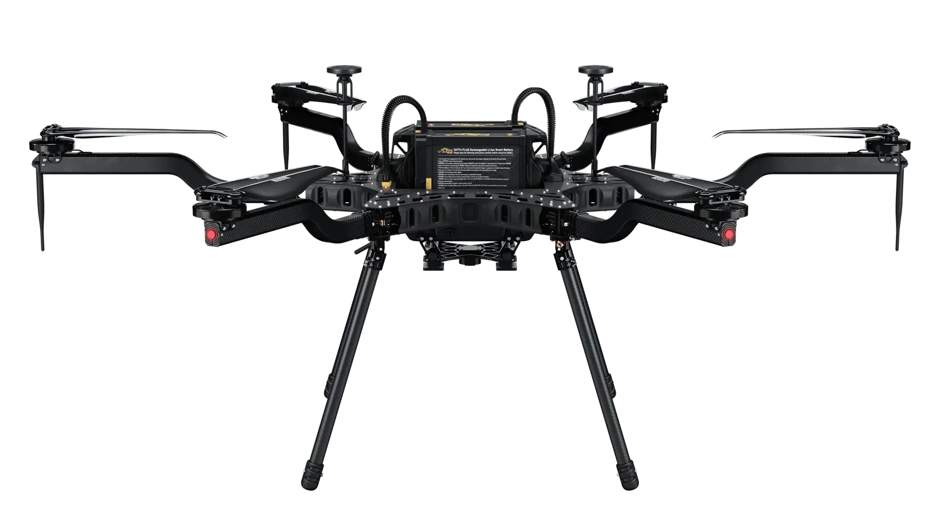
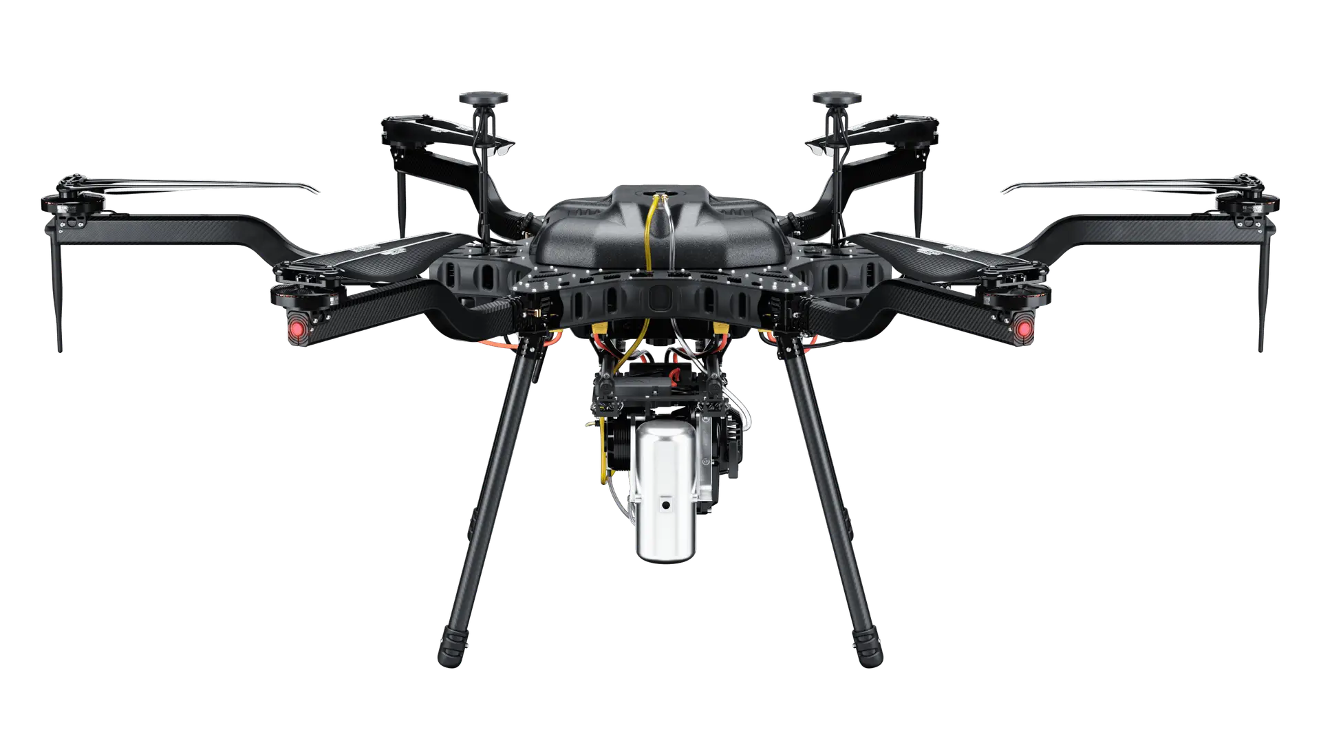
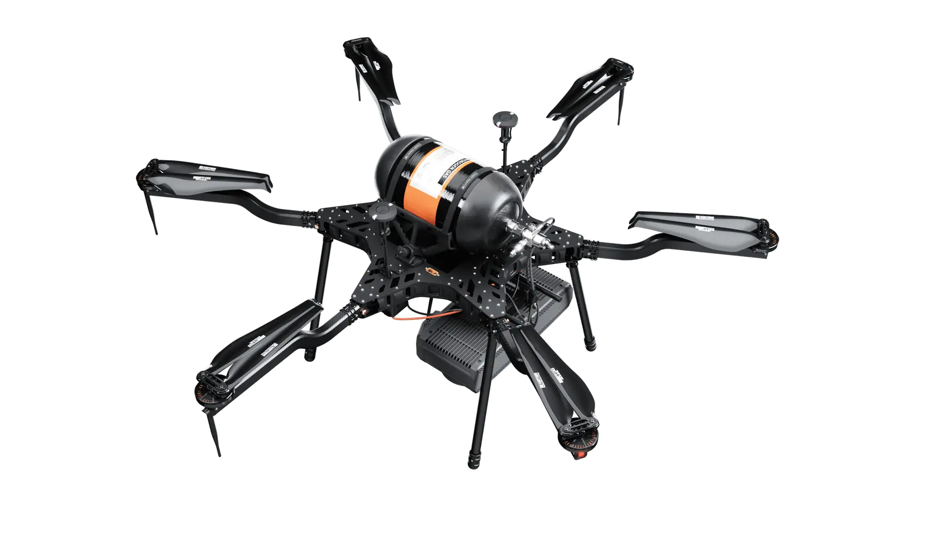
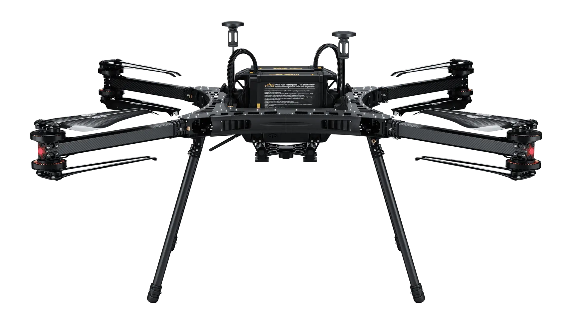
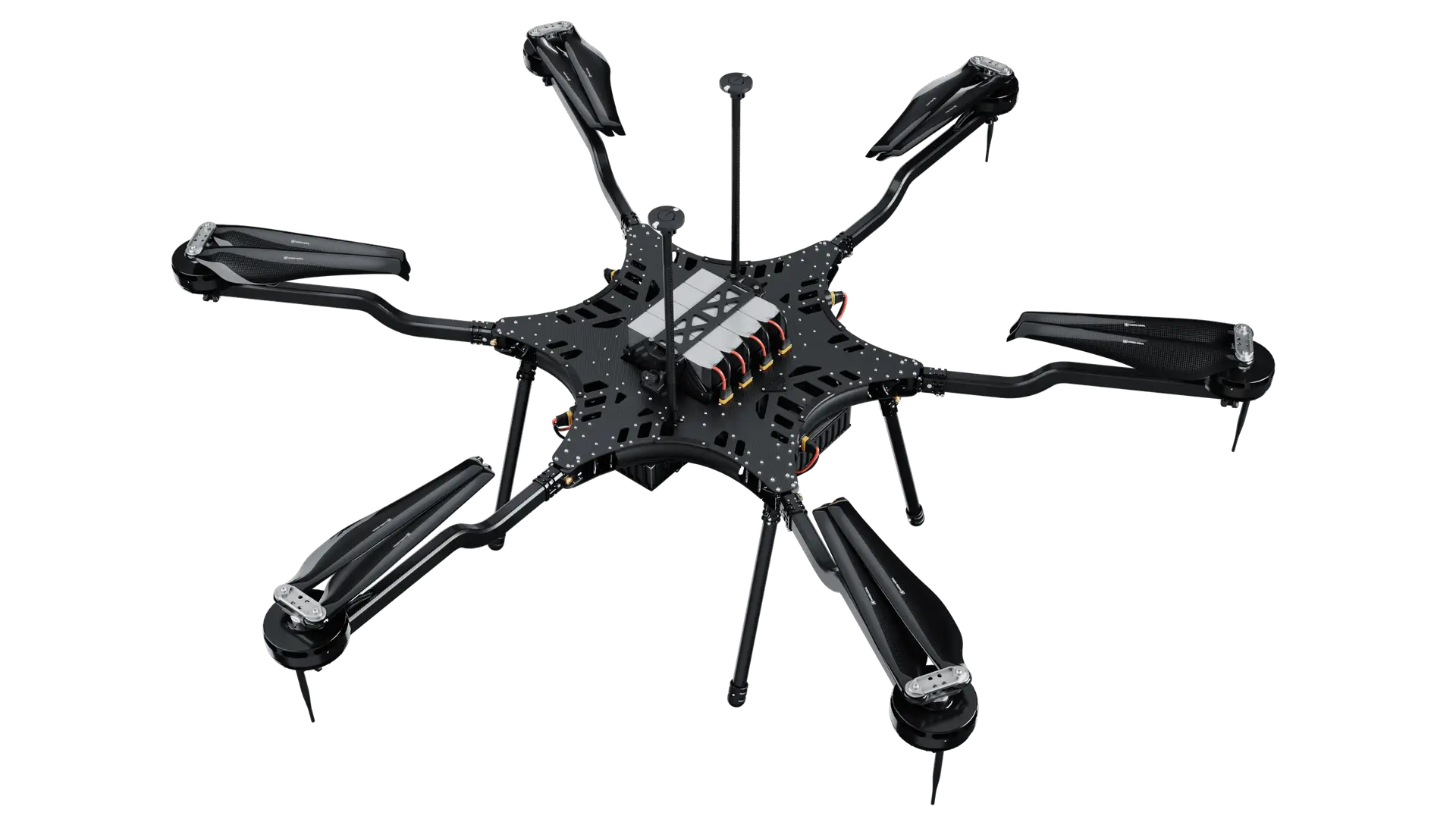
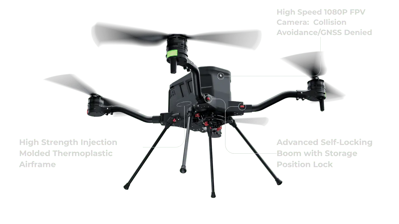
Compatible with Harris Aerial Carrier Drones
The Sentera 6X Thermal is designed for Harris Aerial's Carrier drone platform family. Carrier's extended flight endurance and stable payload bays support consistent thermal data collection across large survey areas.
Thermal + Spectral for Agriculture, Inspection & Commercial Operations
Agriculture Thermal Scouting
Detect irrigation system failures, waterlogged zones, frost-damaged areas, and drought stress earlier and more accurately than visual field scouting allows.
Irrigation & Soil Moisture
Map canopy temperature variation to identify irrigation non-uniformity, failing emitters, and soil moisture gradients across large field areas quickly and cost-effectively.
Building & Roof Inspection
Identify moisture infiltration, insulation gaps, and thermal bridging in commercial roofing and building envelopes with radiometric documentation for reporting and remediation.
Infrastructure Inspection
Survey pipelines, substations, and industrial facilities for thermal anomalies while collecting co-registered visual and multispectral data in the same flight pass.
Precision Agriculture NDVI
Simultaneously capture NDVI, NDRE, and vegetation index maps alongside thermal data for complete agronomic workflows from a single mission without swapping sensors.
Commercial UAV Services
Add both thermal and multispectral data products to your service offering with a single integrated sensor — expanding your revenue streams without adding aircraft or pilots.
How the 6X Series Compares
Not sure which 6X sensor fits your mission? Compare the Multispectral, Thermal, and Thermal Pro across specifications and recommended use cases.
| Specification | 6X Multispectral | 6X Thermal | 6X Thermal Pro |
|---|---|---|---|
| Resolution | 2048×1536 (MSP) · 5184×3888 (RGB) | + 320×256 (Thermal) | + 640×512 (Thermal) |
| Thermal Imager | N/A | FLIR Radiometric Boson 320 | FLIR Radiometric Boson 640 |
| Capture Rate | 5 FPS (0.2s) | 5 FPS (0.2s) | 5 FPS (0.2s) |
| GSD @ 200ft (60m) | 1.0in (MSP) · 0.4in (RGB) | + 6.9in (Thermal) | + 3.4in (Thermal) |
| Field of View (HFOV) | 47° (MSP & RGB) | 47° · 50° (Thermal) | 47° · 50° (Thermal) |
| Storage | 512 GB SSD | 512 GB SSD | 512 GB SSD |
| Weight (with gimbal) | 515 g | 515 g | 515 g |
| Thermal Range | N/A | 8–14 µm | 8–14 µm |
| Power Consumption | 15 W / 18 W max | 15 W / 18 W max | 15 W / 18 W max |
| Suggested Use Case | 6X Multispectral | 6X Thermal | 6X Thermal Pro |
|---|---|---|---|
| Vegetation Health Monitoring | ✓ | ✓ | ✓ |
| Water Stress Prediction | — | ✓ | ✓ |
| Thermal Mapping & Soil Moisture Analysis | — | ✓ | ✓ |
| Forest Fire & Active Flame Detection | — | ✓ | ✓ |
| Evaporation Analysis | — | — | ✓ |
| Forest Health & Vegetation Moisture | — | ✓ | ✓ |
| Crop Growth Stages & Yield Estimation | ✓ | — | — |
| Stand Count & Plant Vigor Monitoring | ✓ | ✓ | ✓ |
| Infrastructure Thermal Inspections (Solar, Roofs) | — | ✓ | ✓ |
Need help choosing? Contact the Harris Aerial team and we'll match the right sensor to your mission requirements.
Frequently Asked Questions
Thermal & Multispectral. One Sensor. One Mission.
The Sentera 6X Thermal brings Multispectral, Thermal and RGB imagery to Harris Aerial's heavy-lift Carrier drone platform. Talk to our team about the right configuration for your operation.