USA-Made · NDAA-Compliant Drones
Redefining Shoreline Mapping
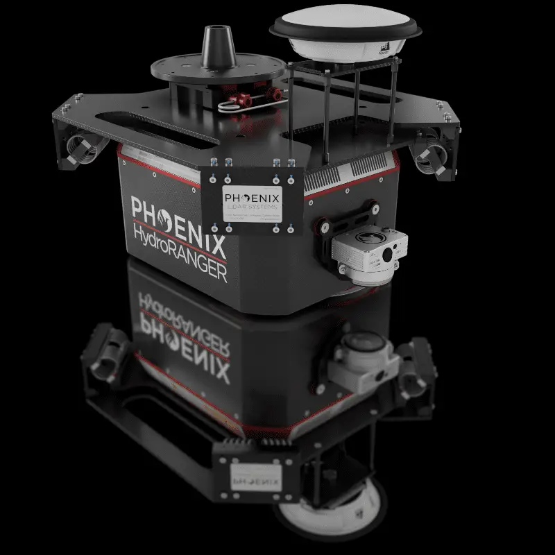
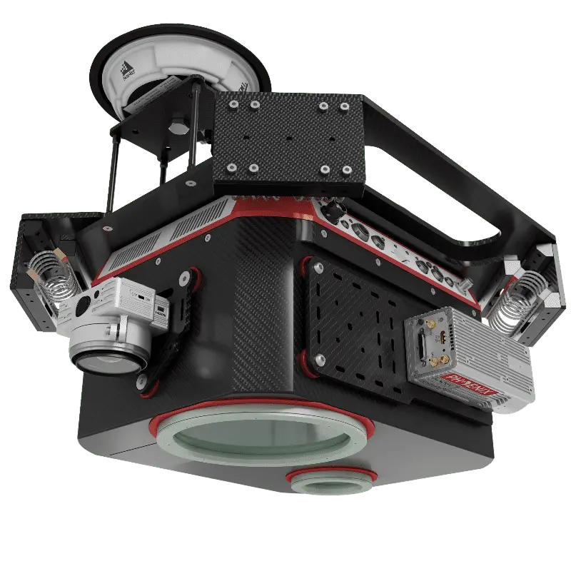
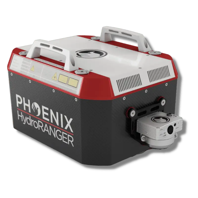
An Airborne Topo-Bathymetric (ATB) system delivering dual topographic and bathymetric measurements for full-scene mapping of shoreline systems — a visible green-spectrum laser with an elliptical scan pattern, reaching beyond 2 Secchi depths along rivers, reservoirs, and oceans.
Browse the gallery with the arrows or thumbnails, and click any image to enlarge it.
High spatial resolution and accuracy where topography meets bathymetry — rivers, reservoirs, oceans, and more.
One Airborne Topo-Bathymetric system captures both topographic and bathymetric measurements for full-scene shoreline mapping.
A visible green-spectrum laser with an elliptical scan pattern reaches beyond 2 Secchi depths into the water column.
Measurement rates up to 200 kHz combine high spatial resolution with spatial accuracy across complex water environments.
View and analyze data in real time, or transmit live data to remote viewers over a 4G connection.
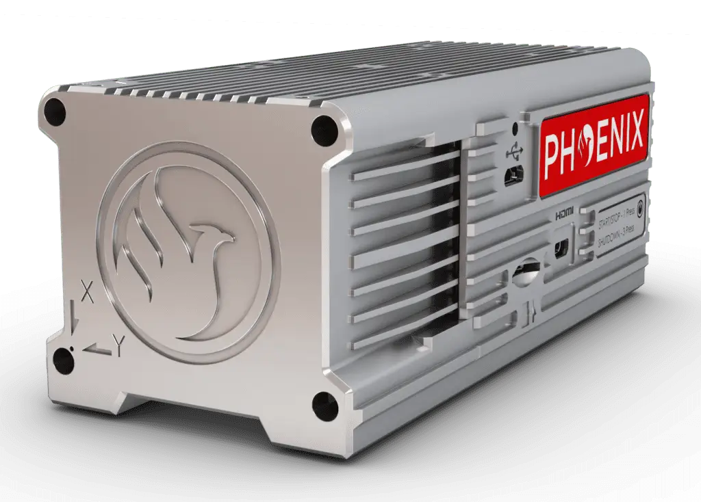
The newest-generation, ultra-lightweight rover increases flexibility on two fronts — reducing weight for longer flight times, and supporting higher range with the highest-resolution cameras on the market. Industry-altering capability in a box not much bigger than a standard computer mouse: 58.5 × 123 × 48.1 mm at just 450 g.
| Laser Properties | 532 nm |
|---|---|
| NOHD | 15 m |
| EHOHD | 75 m |
| Minimum Range | 20 m |
| Horizontal Field of View | 40° |
| Accuracy | 20 mm |
| Precision | 15 mm |
| Sensor Classification | IP64 dust and splash-proof |
| Weight | 12 kg |
| Power Consumption | 110 W typical (220 W max) |
| Scan Pattern | Nearly elliptical |
| Off Nadir Scan Angle | ± 20° = 40° perpendicular to flight direction; ± 14° = 28° in flight direction |
| NOHD / EHOHD basis | 6 mrad beam divergence, 50 kHz, from a moving platform |
| Water Depth Penetration | 2.0 Secchi Depths @ 50 kHz |
|---|---|
| PP Attitude Heading RMS Error | 0.01° IMU options |
| Dimensions (L x W x H) | 432 x 334 x 202 mm |
| Scan Rate | 200,000 shots/second, up to 15 returns |
| Weight | 13 kg / 28.7 lbs approx. |
| Constellation Support | GPS + GLONASS + BEIDOU + GALILEO |
|---|---|
| Support Alignment | Static, Kinematic, Dual-Antenna |
| Operation Modes | Real-time, Post-processing optional |
| Accuracy Position | 1 cm + 1 ppm RMS horizontal |
| PP Attitude Heading RMS Error | 0.01° IMU options |
| Overall Dimensions (with AIR NavBox) | 476 x 440 x 380 mm (with Heli Vibration Isolator); 432 x 334 x 202 mm (without Heli Vibration Isolator) |
|---|---|
| Operating Voltage | 18 – 28 V DC |
| Power Consumption | 122 W (typical) | 232 W (max) |
| Operating Temperature | -10°C up to +40°C |
| Weight | 21 kg / 46.3 lbs approx. (with Heli Vibration Isolator); 13 kg / 28.7 lbs approx. (without Heli Vibration Isolator) |
| Dimensions (W x D x H) | 58.5 x 123 x 48.1 mm |
|---|---|
| Weight | 450 g |
Build the LiDAR system you need to meet the growing demands of your clients.