Verified
01 · Survey
Survey & Mapping
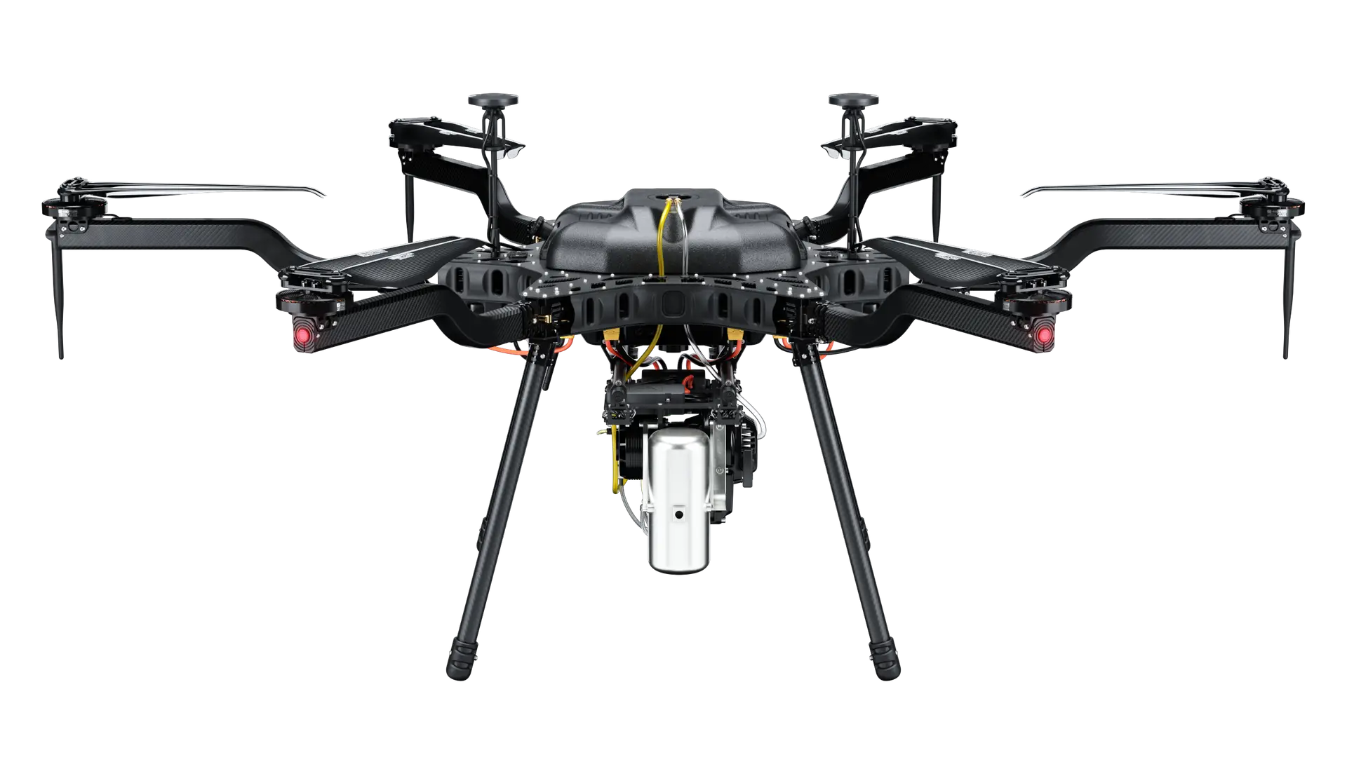
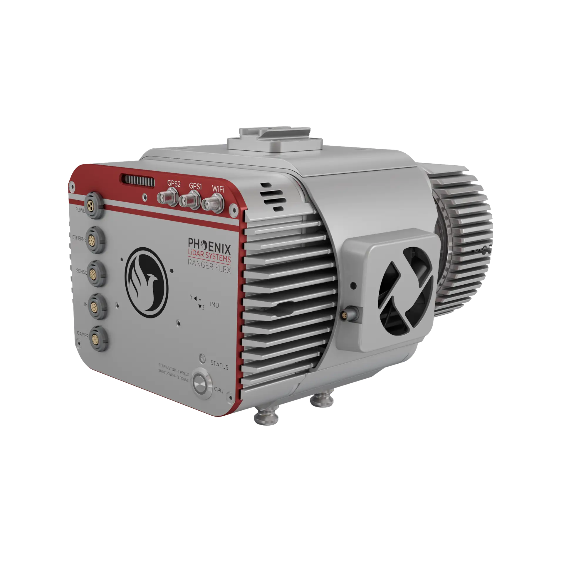
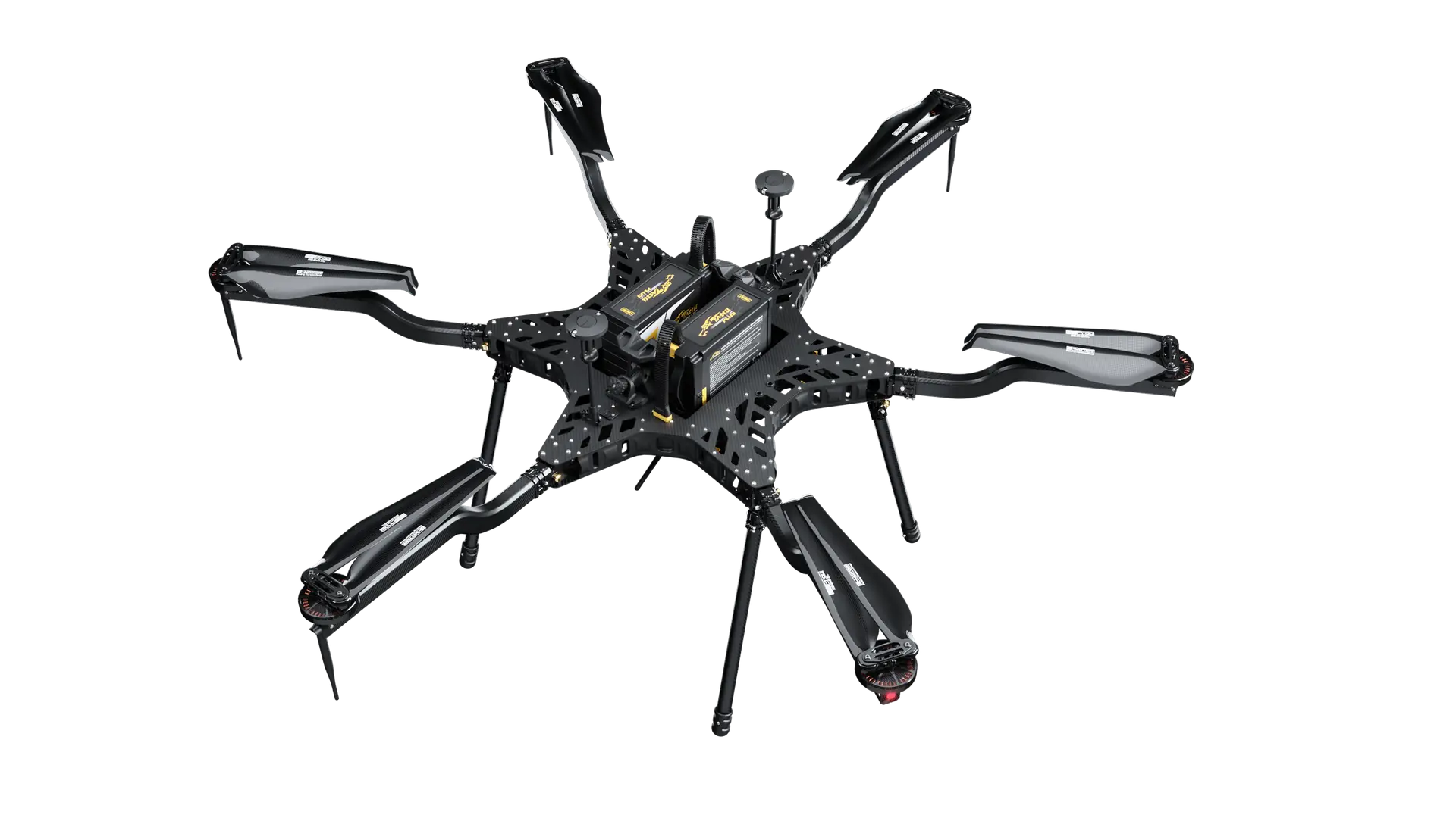
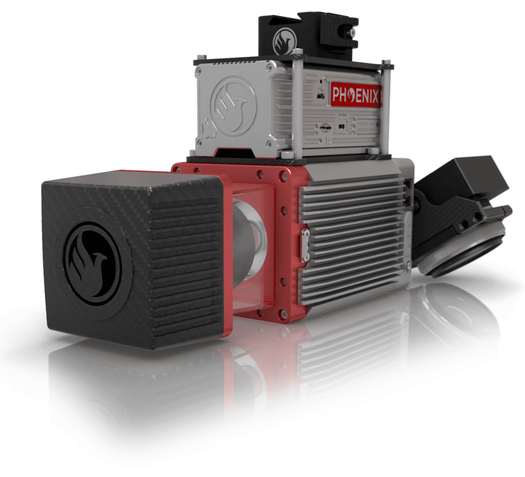
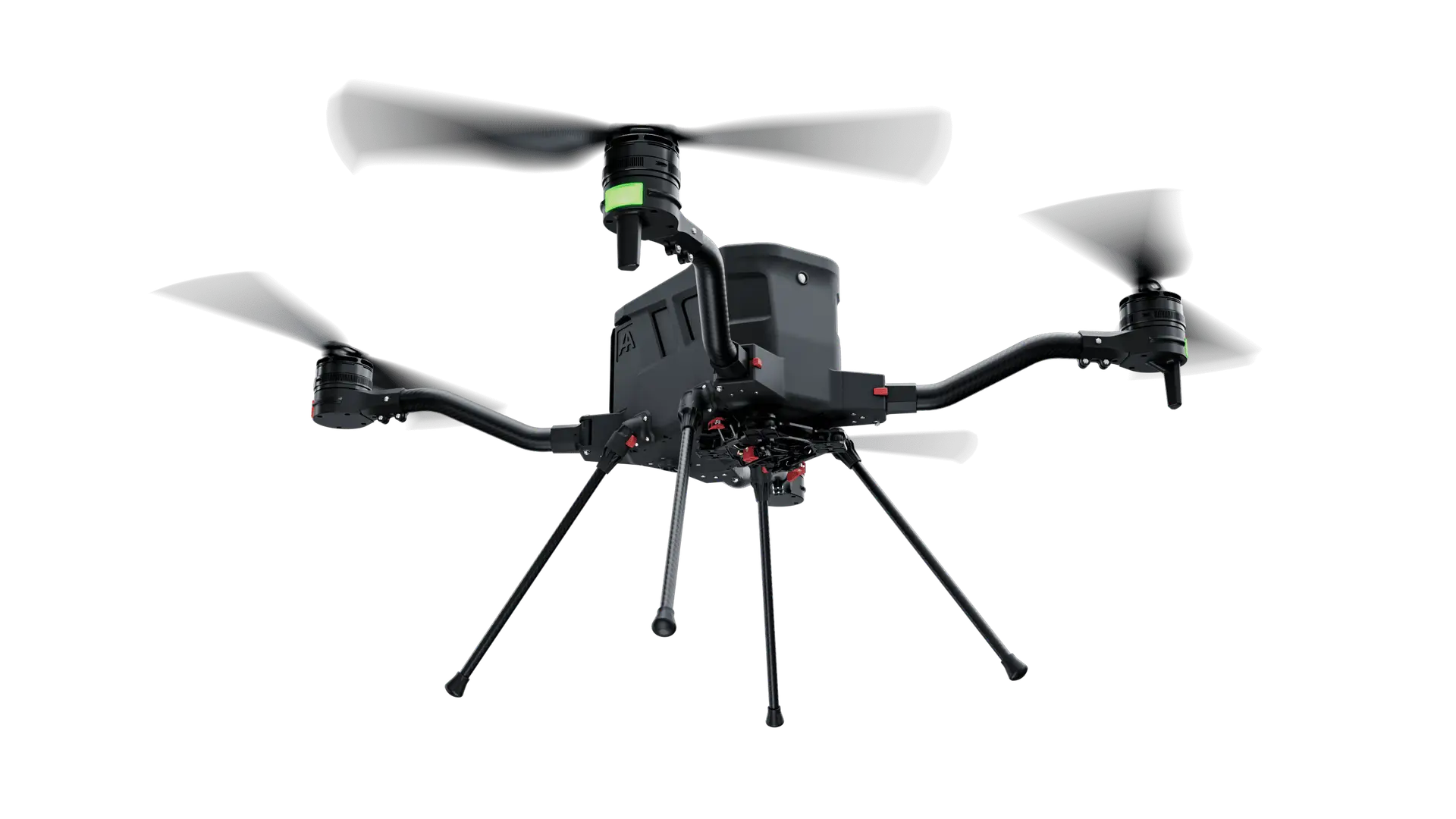
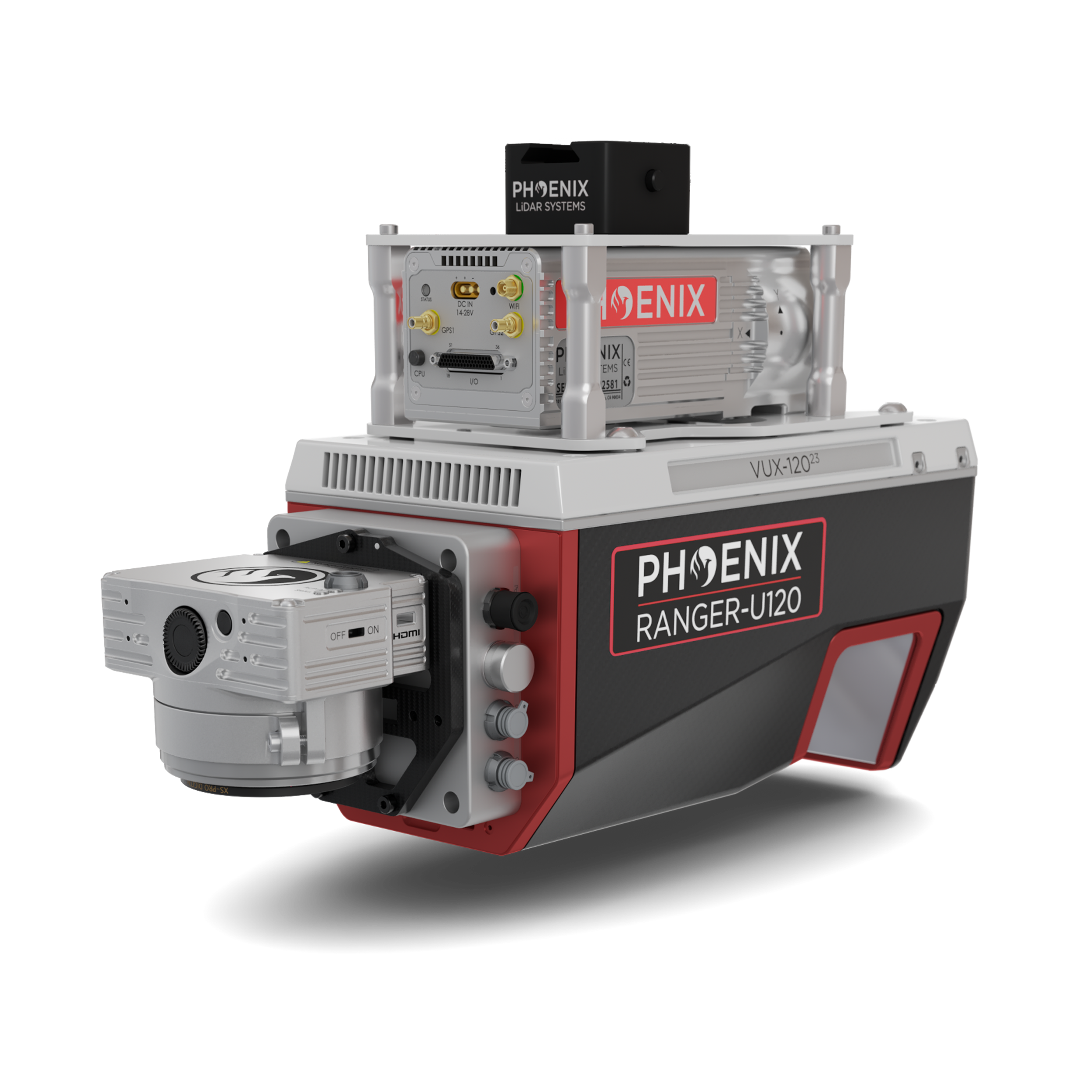
Compact-Class LiDAR Demo — TopoDOT 2026
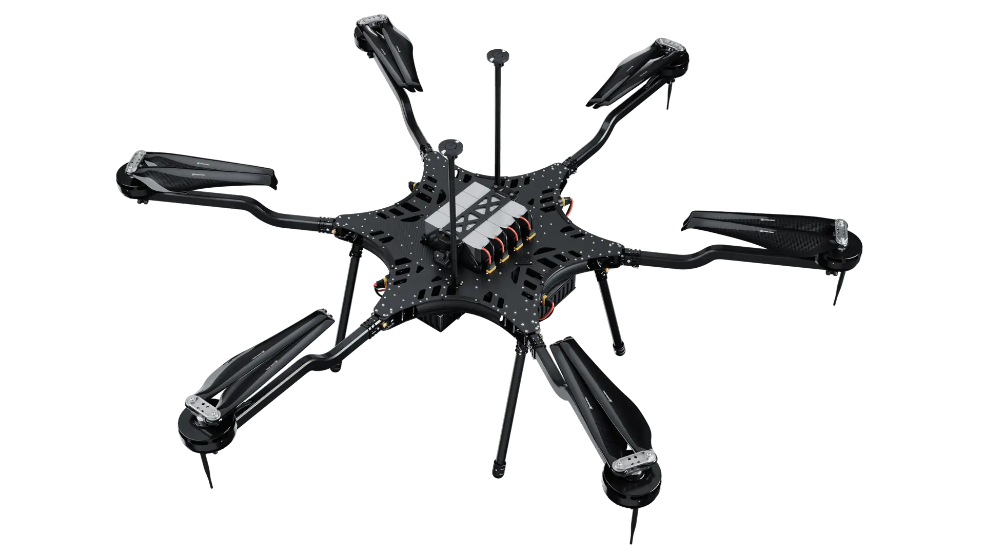
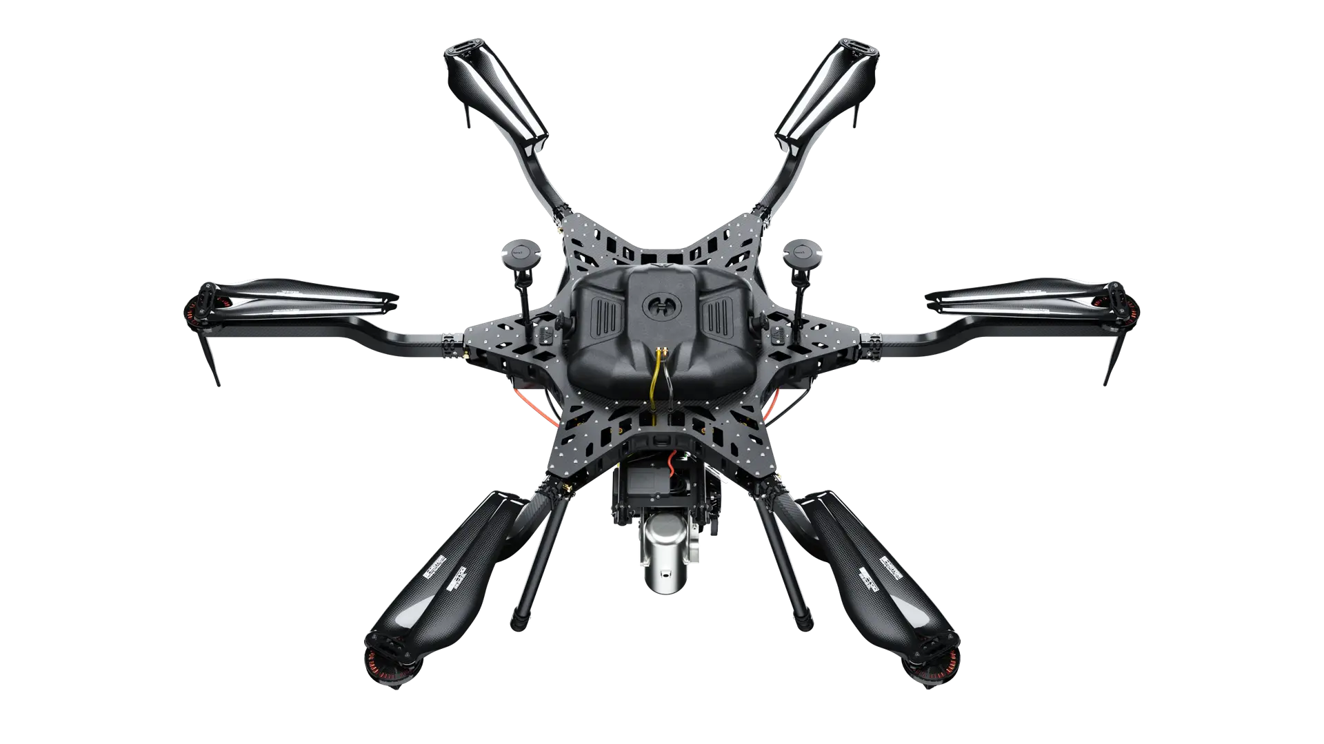
The compact-class H4C carries the Phoenix Ranger 120 for survey-grade LiDAR capture — flown as a live demonstration at the TopoDOT 2026 conference to showcase clean, dense point clouds from a small, rapidly deployable airframe.
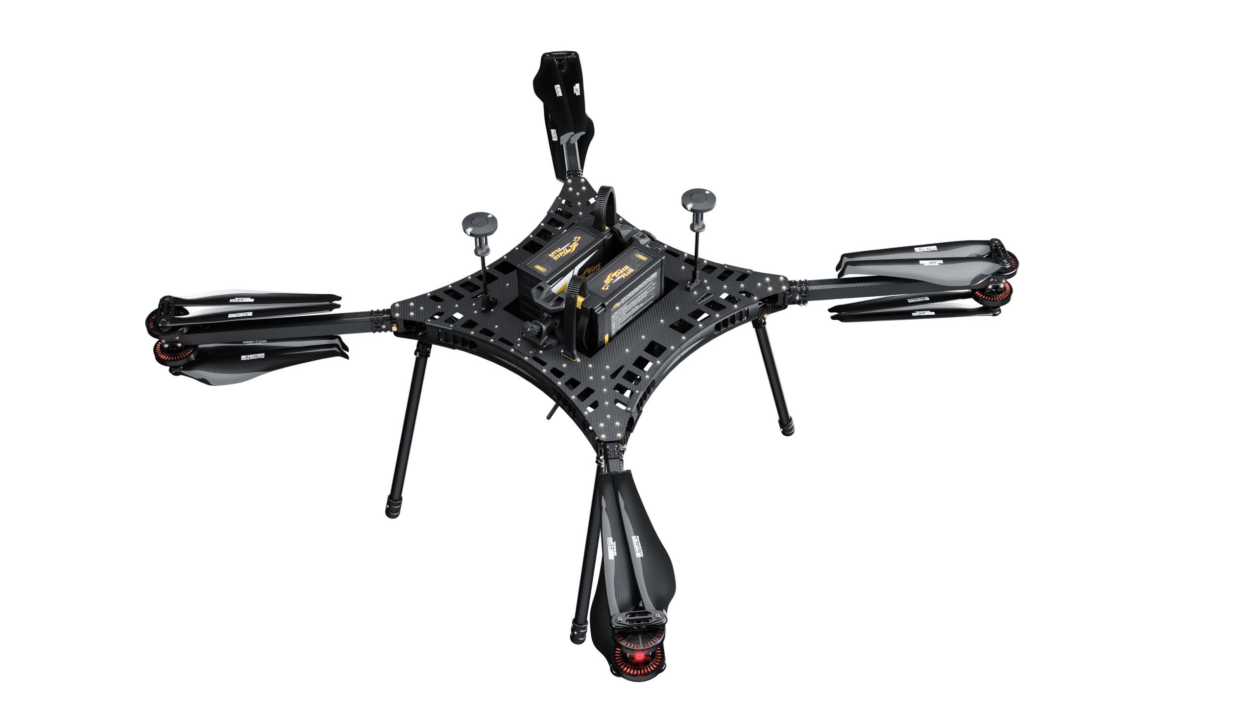
Drone
Carrier H4C
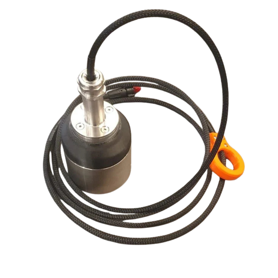
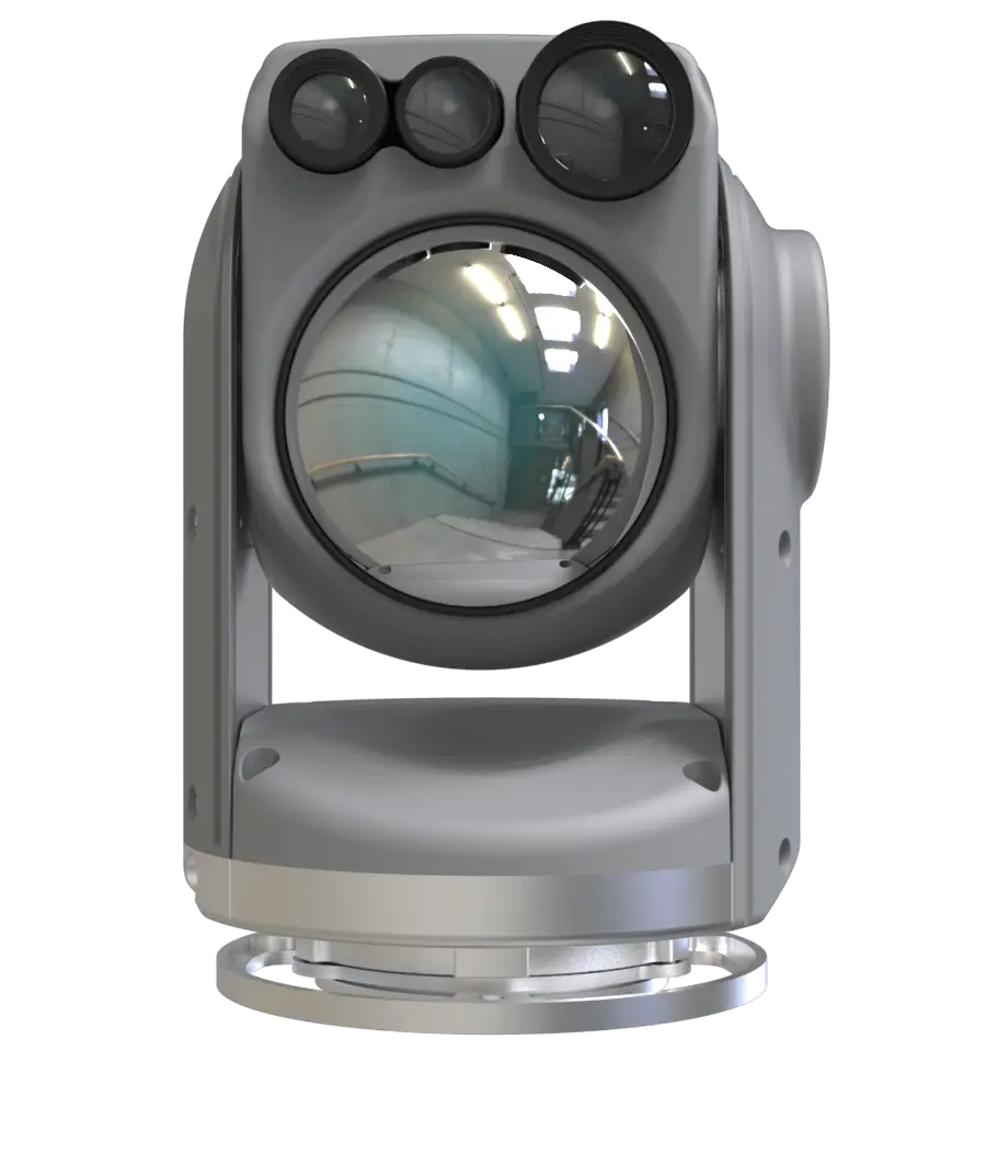
Payload
Phoenix Ranger 120