USA-Made · NDAA-Compliant Drones
Triple-IN SLP-LW Integration with a 26 MP Global-Shutter Camera & Optional Unlimited PP-RTX
The TrueView 641 brings engineering-grade accuracy and long-range performance into a more accessible package — expanding NDAA-compliant LiDAR options for surveyors, engineers, and mapping professionals. Developed with Triple-IN Laser Technic, it pairs European-engineered laser scanning with GeoCue’s proven integration, software, and support. Assembled in Huntsville, AL, with an optional upgrade to unlimited Trimble PP-RTX post-processing — no base station required.
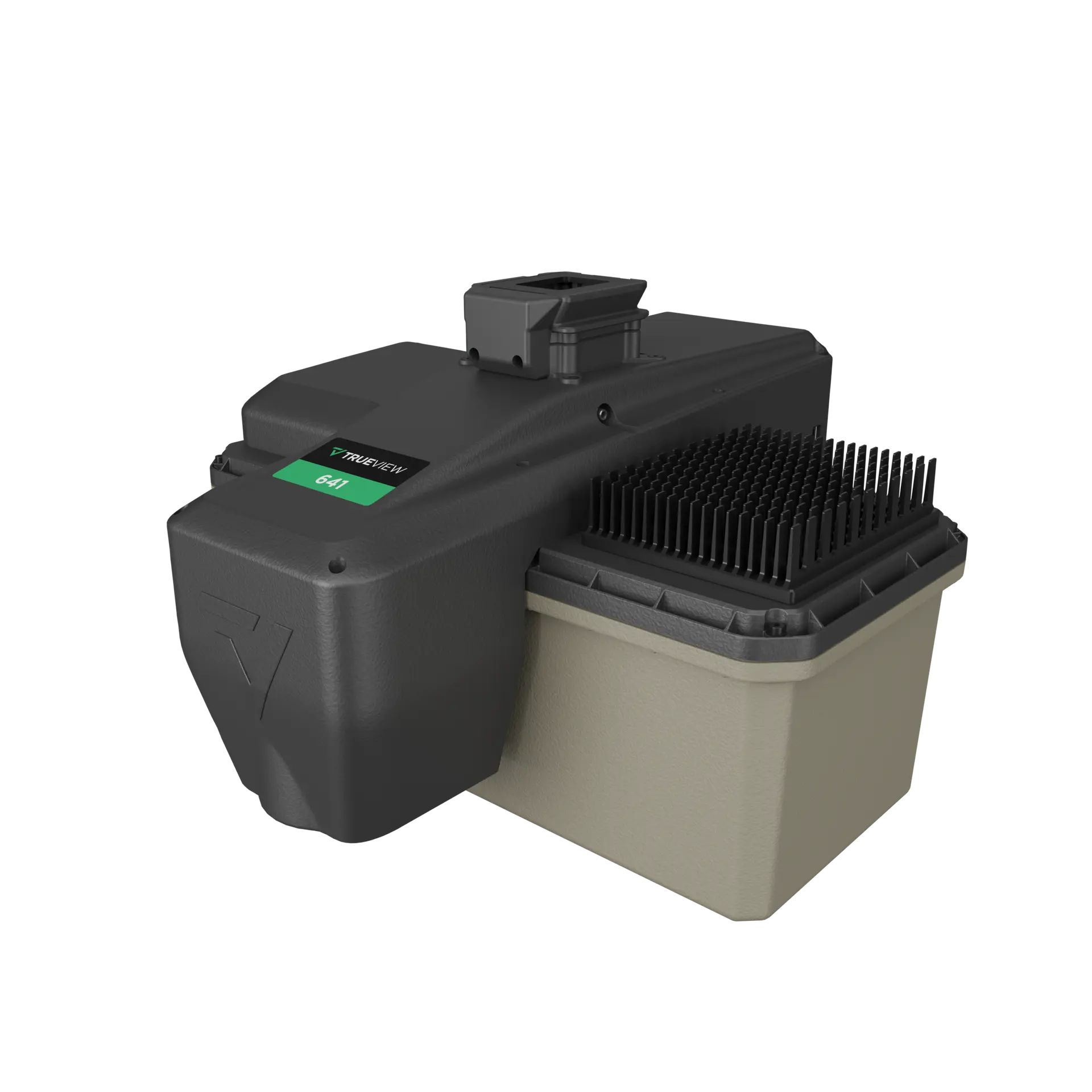
A lightweight, NDAA-compliant Triple-IN integration engineered for survey-grade corridor, rail, and road mapping.
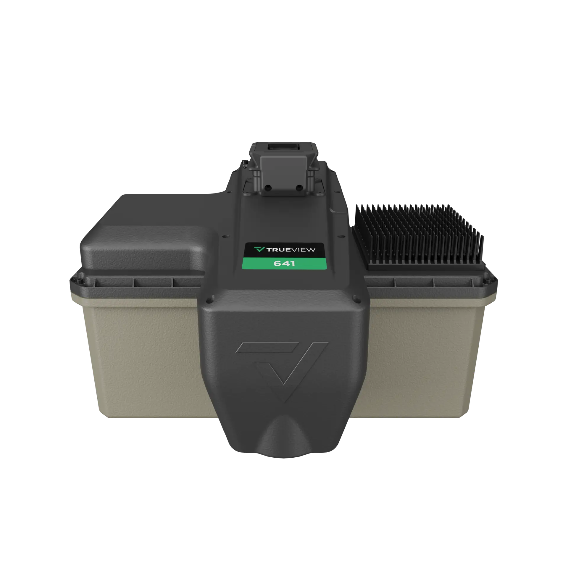
Triple-IN laser scanning, engineering-grade accuracy, and a calibrated 26 MP camera — built for utility corridors, rail, and road design.
Eye-safe 905 nm (Class 1) scanning with up to 6 returns per pulse and ≤ 3 mm precision — a 170 m usable range at 20% reflectivity for reliable vegetation penetration and wire detection.
Add unlimited Trimble PP-RTX post-processing to correct in the cloud with no local base station — a virtual base station delivering centimeter accuracy with no ground equipment.
An NDAA-compliant 26 MP global-shutter mapping camera with a 72° field of view delivers true colorization and imagery for photogrammetry.
Complies with NDAA Section 889 and is free of prohibited components — the LiDAR is engineered by Triple-IN in Germany and assembled in Huntsville, AL. Eligible for U.S. federal, state, and SLED projects.
| Data Collection | LiDAR + Imagery |
|---|---|
| LiDAR Scanner | Triple-IN SLP-LW (905 nm, Class 1 eye-safe) |
| Beams / Returns | Up to 6 per outgoing pulse |
| Usable Range | 170 m for targets with > 20% reflectivity |
| Pulse Repetition Rate | Up to 125 kHz |
| Scanner Precision | ≤ 3 mm |
| Scanner Accuracy | ≤ 4 mm |
| Camera Sensor | 26 MP global-shutter, 72° FOV; true-color photogrammetry imagery |
| Navigation (INS) | TrueNav |
|---|---|
| Orientation (PPK) | Better than 0.035° Heading; 0.015° Roll/Pitch |
| Position (PPK) | 0.03–0.05 m RMSE |
| Post-Processing | Single base / PPK; optional unlimited Trimble PP-RTX (no base station) |
| System Precision | Typ. 20 mm; < 15 mm (1σ) at 75 m on concrete |
| System Accuracy | Typ. 3 cm RMSE; better than 5 cm 3D RMSE |
| Control & Storage | Wi-Fi + button control; 128 GB internal + 16 GB external |
| Dimensions / Mass | 245 × 253 × 166 mm; 2.2 kg payload; 10–50 °C operating |
Mass listed is the payload unit only and excludes accessories (battery, mount, antenna, power adapter). The TrueView 641 LiDAR sensor is engineered by Triple-IN (Germany) and assembled in Huntsville, AL. Unlimited Trimble PP-RTX post-processing is available as an optional upgrade. A yearly maintenance fee may apply from the second year.
Pair the TrueView 641 with the right Harris Aerial Carrier for your mission and operating environment.